
Trail Description

The hike to Twin Lakes in the Tobacco Root Mountains is a great day hike. You can hike to Twin Lakes one of two ways: From the North Meadow Creek Trailhead which is partly on a motorized trail or take the non-motorized trail farther back on the road. Our provided coordinates point to the non-motorized trail which we took. The trailhead we took doesn’t appear to have a name on our Tobacco Root Mountains Trail Map.
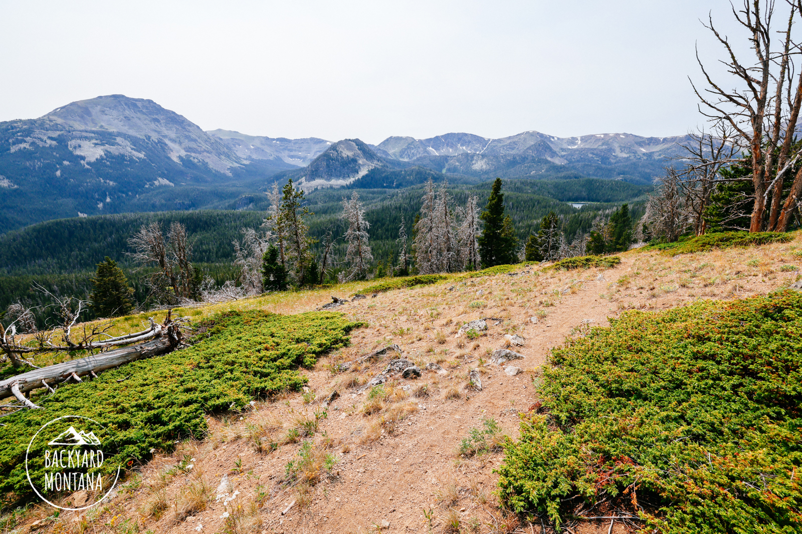
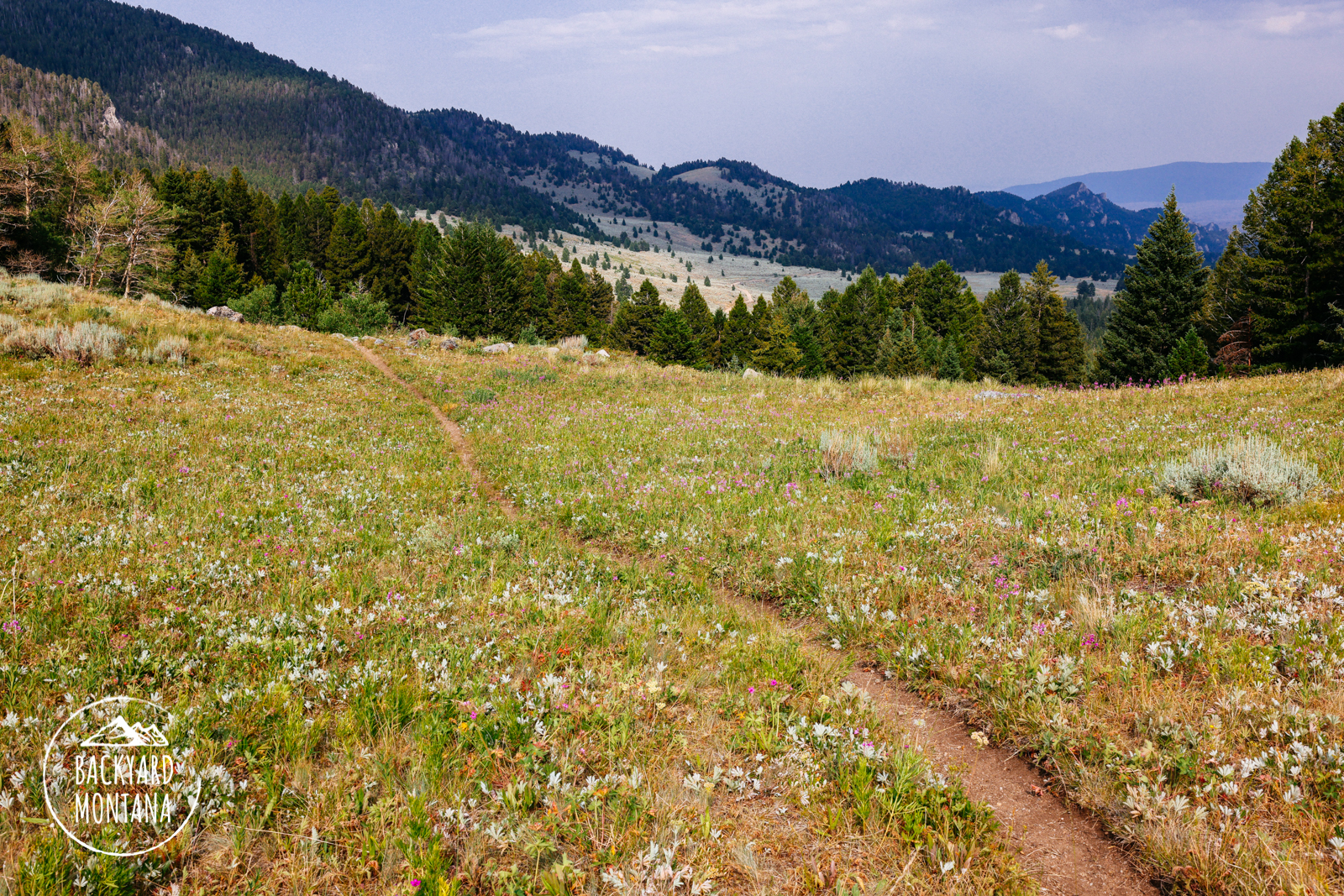
The hike starts out crossing North Meadow Creek and travels through a fairly dense forest for about .25-miles. You’ll reach an open grassy field with some views of the surrounding mountains. The trail goes back into the denser forest again and you’ll gain some elevation on this stretch. At about 2-miles the trail opens up to high open fields. You get to take in the surrounding views of the Tobacco Root Mountains and enjoy easy hiking for .5 miles. The trail seems to take an abrupt west turn which we almost missed. We seemed to just want to follow the field – so pay attention if the trail suddenly disappears on you up here. This takes you back into the dense forest again. The trail is relatively flat and pretty much follows a topo line until reaching a ridge that pops you onto the Twin Lakes side. There is a great view looking towards Ward Peak, Kid Mountain, Porphyry Mountain, and south towards other mountains in the Tobacco Root range. The trail then descends somewhat steeply down to the lakes. Great views of Lady of the Lake Peak can be seen from the first Twin Lake. We didn’t end up checking out the further Twin Lake because we had to turn around for a tired pup.