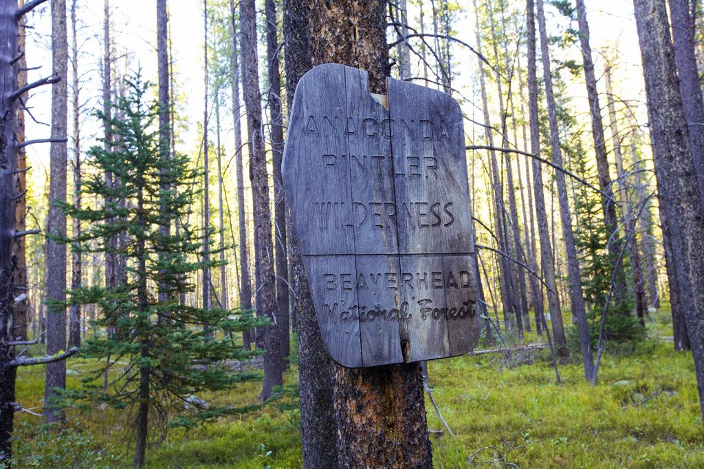
What Makes the Anaconda-Pintler Special?
The heart of the Anaconda-Pintler is designated as a federally protected Wilderness area, which shapes everything about the experience. No roads penetrate the range, which means no motorized traffic, no casual drive-through visitors, and a genuine sense of remoteness that’s increasingly hard to find. The landscape rewards the people willing to earn it on foot.
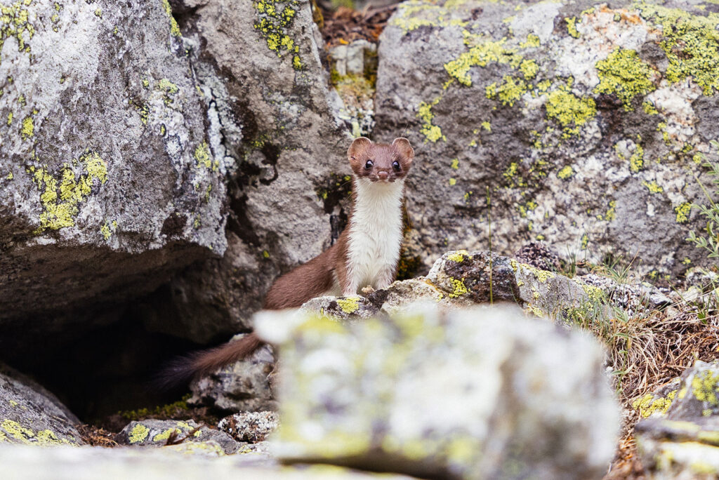
That road-free character also means better wildlife sightings. Animals here aren’t conditioned to vehicles or roadsides, and encounters tend to feel more intimate and genuine. We’ve seen mountain goats, elk, moose, deer, ermine, and more.
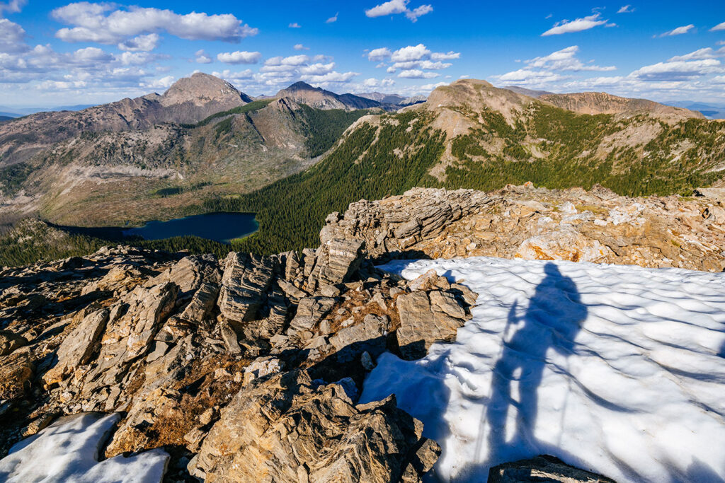
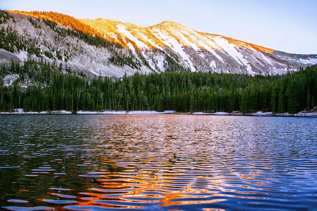
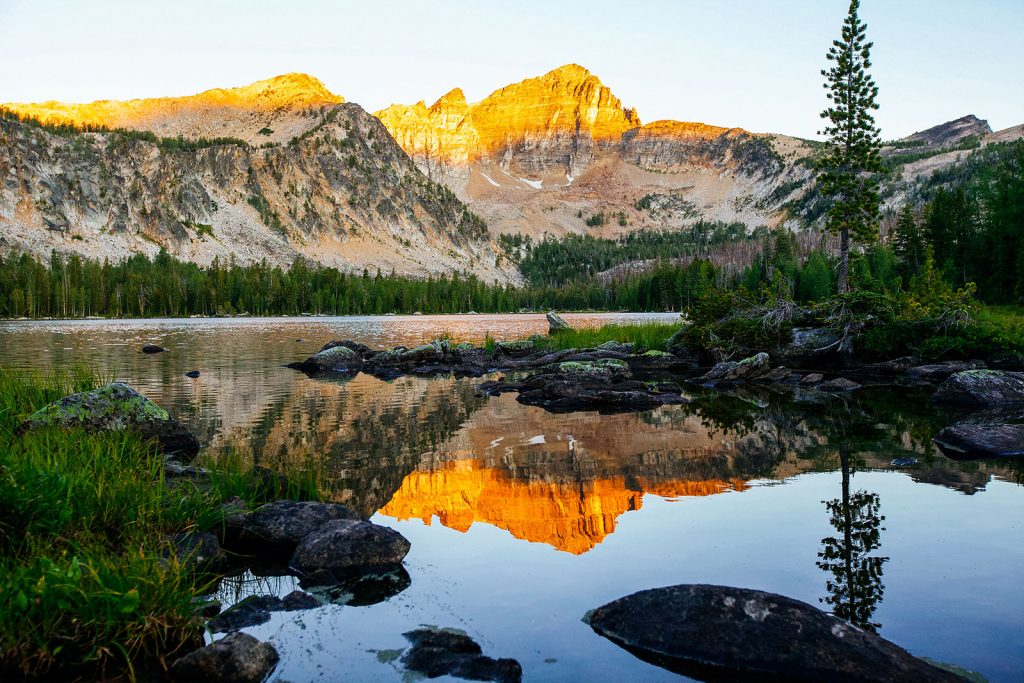
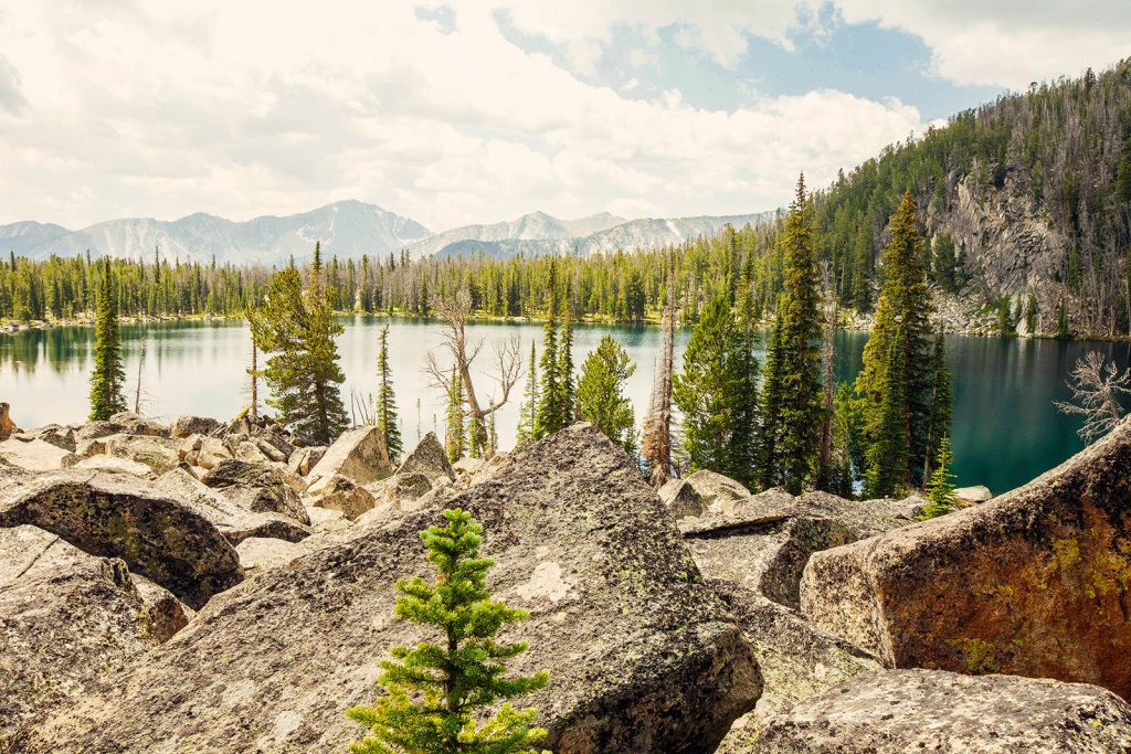
The terrain itself leans lush compared to some of Southwest Montana’s other drier ranges. Denser forests, moss, and a surprising richness of wildflowers push into the high country. One of our favorite features of the Anaconda-Pintler is its alpine larch: those golden, needle-shedding conifers that turn the high basins into a cheerful golden experience each fall.
The range also includes part of the Continental Divide, and several miles of the Continental Divide Trail pass through. If you’re hiking or planning a longer CDT section, this is a beautiful stretch.
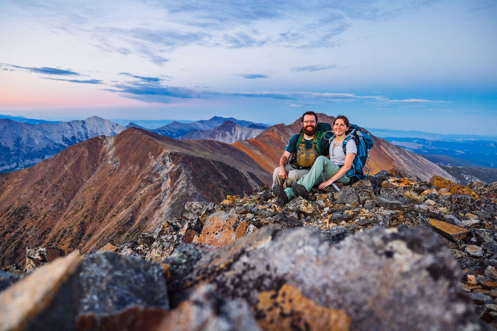
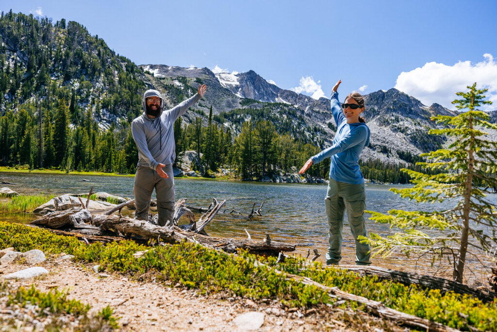
Peak summer brings some use to the popular trailheads, but venture even a few miles past them and solitude is genuinely available.

