
Intro
My husband Mitch and I moved to Butte, Montana a little over two years ago. We were excited to see we’d be moving to a city surrounded by so much National Forest land. When we arrived here and before we were even settled, we wanted to hit the trails. I searched for hikes online and there were only 2 trails listed in our closest mountain range on a popular hiking trail website. This didn’t make a lot of sense to us. Moving from the Adirondacks in northern NY, almost every hike could be searched and read up on online. Trailheads had their own parking lots with trailhead kiosks and registry boxes. There were deluxe National Geographic maps to cover the entire Adirondack boundary. It was easy to find a hike in a short time and set out for the day. It didn’t take us long before we realized we needed to research quite a bit more before exploring our new backyard. We put together an article for those who may want to learn a thing or two about hiking in Montana.


We moved to Montana with a Subaru Crosstrek and Impreza. We were confident that our Crosstrek’s high clearance would be enough for getting around and accessing hiking trails. The hiking access we were used to was always off of well-maintained roads. It didn’t take long for us to realize the need for a high clearance truck (one summer season). Most of the hiking trails we have mapped on our website are accessed from Forest Service roads. These roads aren’t maintained very often and it’s common to encounter sharp jagged rocks of all sizes and tire eating potholes. If you plan on getting to some of these remote hiking areas, it’s best to either rent a high clearance vehicle, have a friend with one, or buy your own.

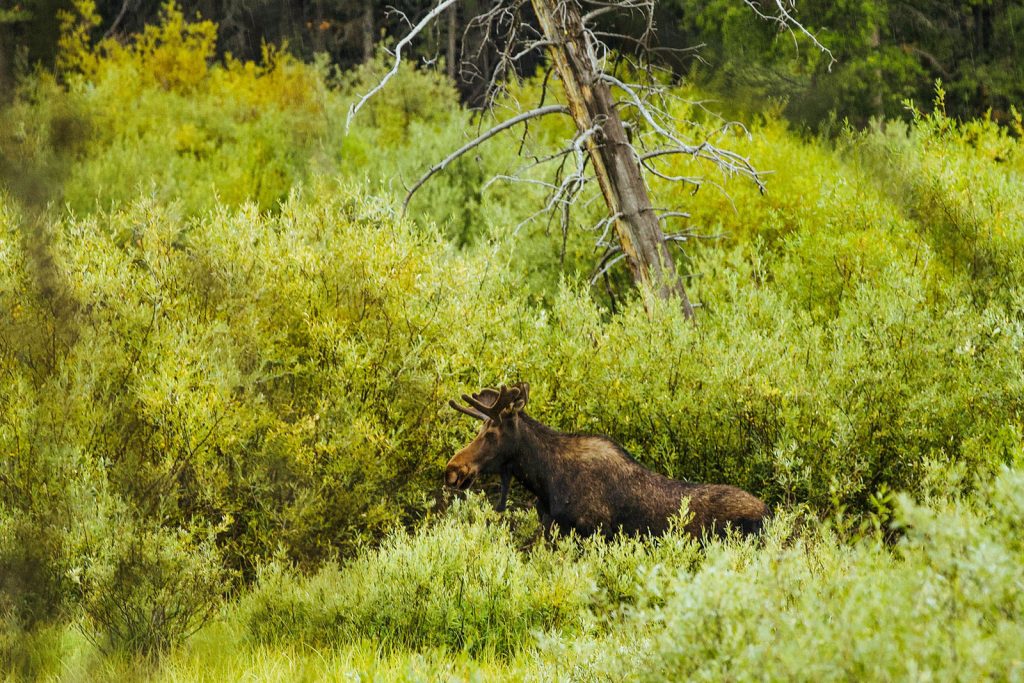
Southwest Montana has two types of bears: Black bear, and Grizzly bear. Each bear has unique characteristics and behaviors. You can learn about the differences in behaviors by watching this video by Park Wildlife Biologist John Waller. We’d also suggest learning how to distinguish physical characteristics between the two by reading this pamphlet by Montana Fish and Wildlife. If you plan on hiking in Montana, make sure you are prepared with bear spray. You can find these in many local stores including Bob Wards, Three Bears, REI, and most other outdoor stores in Montana. Additionally, it would be good to read our article, Tips for Hiking in Montana’s Bear Country.
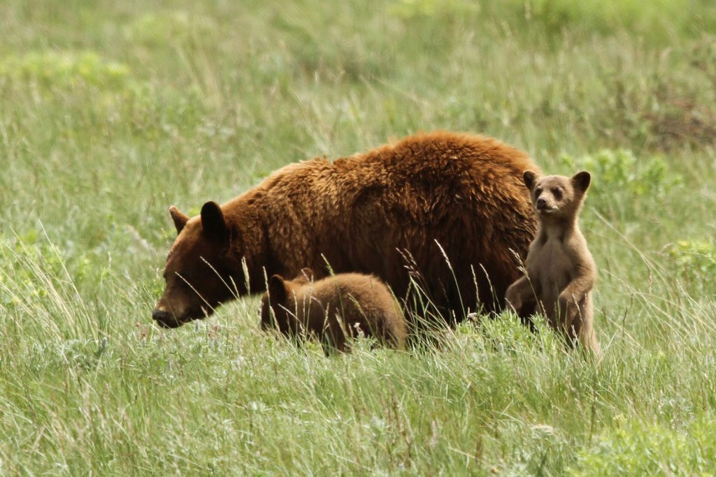
Think this is a Grizzly bear family? It’s actually a Black bear family in their cinnamon color phase!

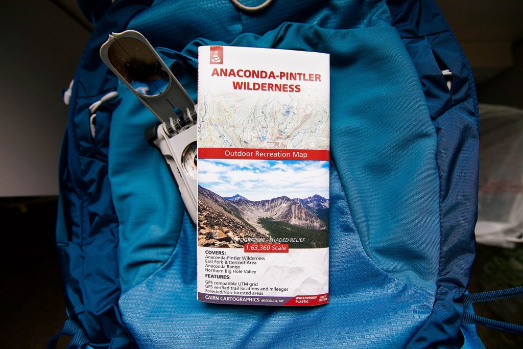
When we realized we were moving to Butte, we were ecstatic seeing we were about to be surrounded by so much public land. I suppose we assumed there were trails all throughout the National Forests, which there are. We just couldn’t find them online easily. We were also having a hard time finding maps on the surrounding forests that included all info we were interested in (topographic lines, mileage, shaded relief). There are some older Forest Service maps, but the info is outdated, and they don’t typically include mileage. It took some hunting, but after a few years, we found a couple of cartographers that have some maps of the nearby ranges. These maps aren’t always found in local outdoor stores, and our favorite range, the Pioneer Mountains still doesn’t have a complete map.

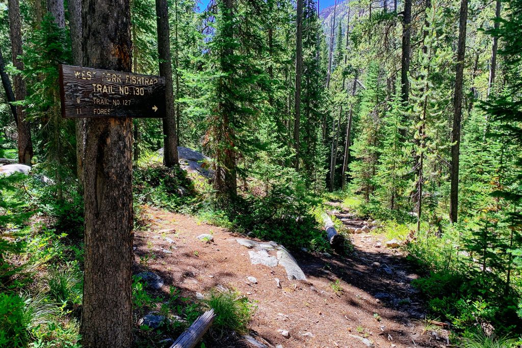
We realized pretty quickly that we needed to do a lot more research before setting out to hike in Montana. For example, some trails may not have a trailhead kiosk which makes it hard to know when you have arrived at the trailhead destination. We’ve also noted some trails have intersections without directional signs or they may list a trail number instead of listing your destination which can be confusing. Additionally, some trails that show they exist on maps, don’t actually exist anymore. We’ve learned it’s best to take into account as many different sources to determine the trail you’ll take (Google satellite, maps, GPS).

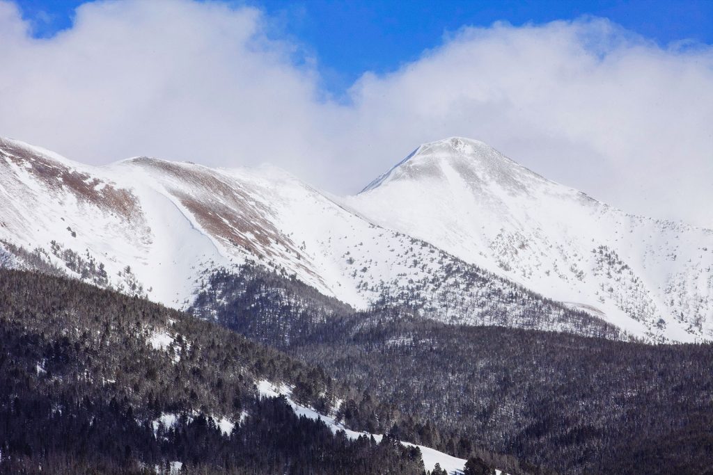
If you’re new to hiking, this is something to consider and prepare for. Back in our college days while attending a meteorology class, we discovered a rule of thumb which estimates that for every 1,000 feet you ascend, the temperature drops 3.5-5 degrees F. Therefore the temperature for where you’re hiking and at the trailhead can be much cooler than your home base down in a valley. Mountain weather is also notorious for being unpredictable. Mountain ranges create their own weather patterns. For example, we noticed in Spring that the clouds get hung up in the mountains and are more likely to have thunderstorms while our home city has blue skies. Always be prepared – check the weather for where you’re hiking, pack for the unpredictable, and stay safe.

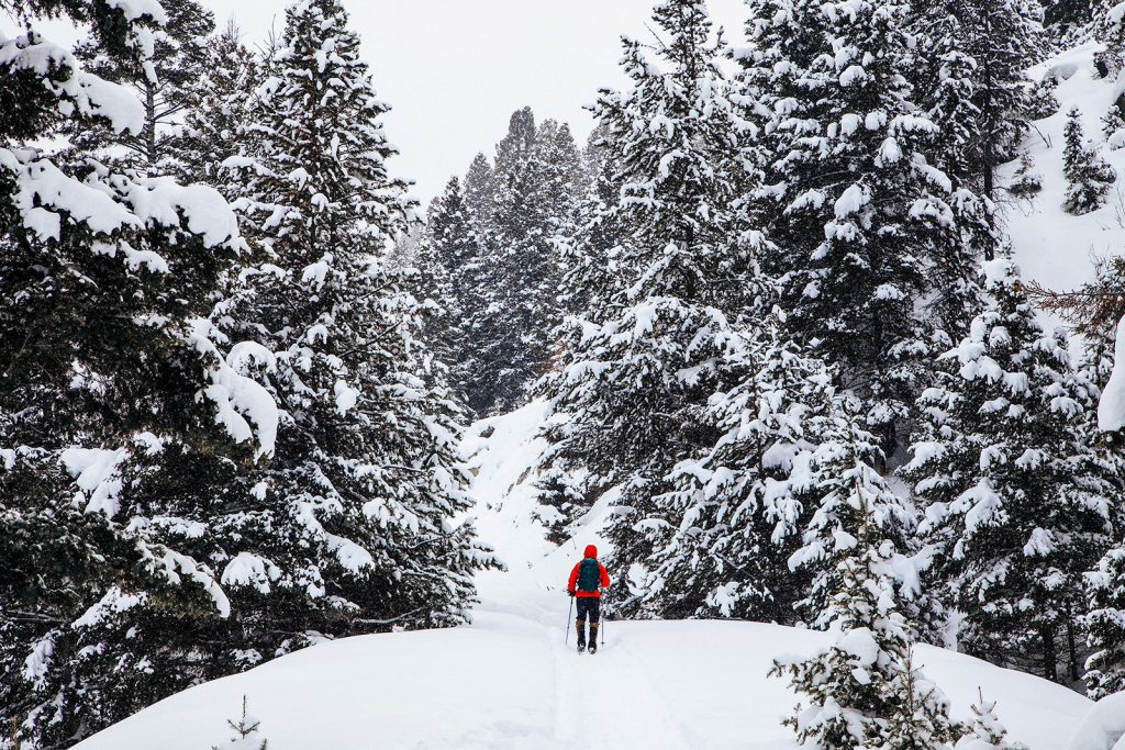
As we mentioned before, most of the hikes we have on our website are accessed by Forest Service roads. These roads aren’t maintained for winter and aren’t the easiest to get to even in summer. Without plowing some of these access roads, you could expect to add a good 10+ miles to reach the actual trailhead. There are a few exceptions to hikes that are fairly close to nearby towns, but the majority of the trails we hike aren’t. The only other way to reach these trailheads during the winter months is by using a winter-specific motorized vehicle. This is why most of our hikes are mapped during the late Spring – Autumn. Something to keep in mind and research if you plan on winter hiking in Montana!

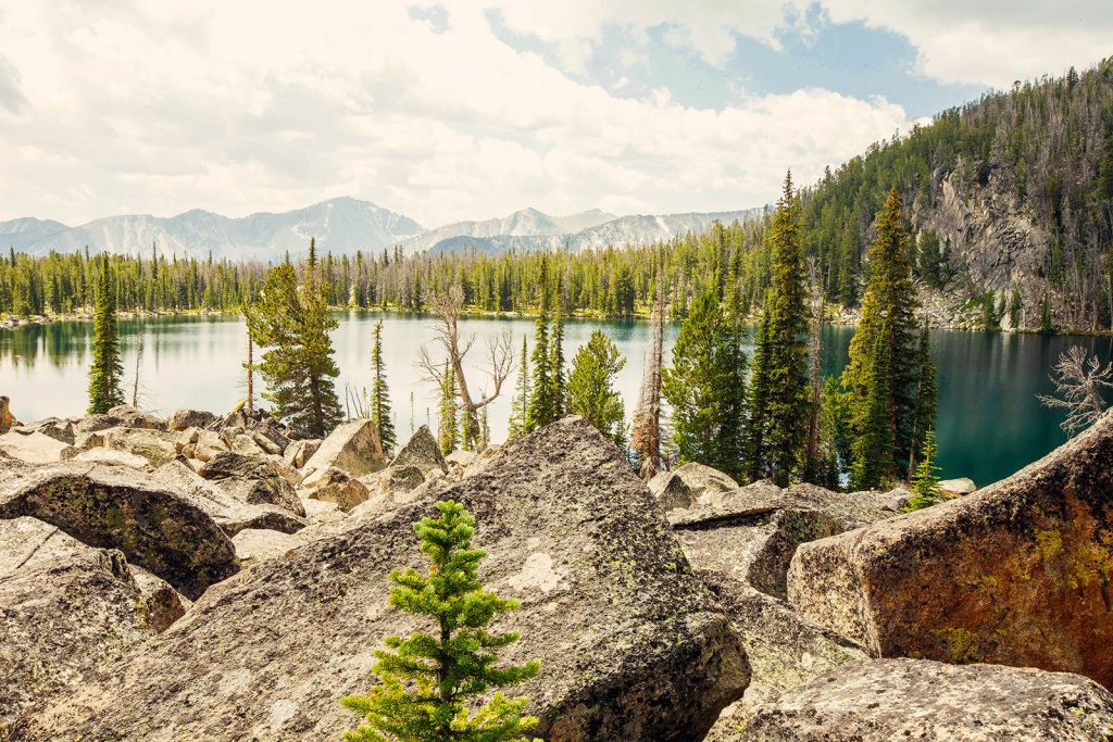
We understand this is relative to where you come from. Just remember that most of our hikes in Montana are between 8,000-12,000 ft. High altitude = higher UV rays. Our climate is also very dry. Make sure you apply and/or bring sunblock. It’s also a good idea to bring extra water if you’re not used to higher altitude hiking.

Some areas close or are off limits during certain times of year. An example of this can be that your location is in a Wildlife Management Area. As the Montana Fish and Wildlife website explains, “The primary goal of Montana’s Wildlife Management Areas is to maintain vital wildlife habitat for the protection of species and the enjoyment of the public.” We fully support these closures, and want to make sure you plan your visit accordingly. You can view Wildlife Management Area locations and their opening/closing dates by clicking the button below.
We suggest reviewing maps, checking with the land management organization that controls the land, or we’ve found OnX’s map layers to be quite helpful when hiking in Montana.


Conclusion
We realize not all of these suggestions will be news to everyone who reads the article. Part of what we try to emphasize in our own website is being prepared. What better way to emphasize it than to write an article about what to expect. Although some of these headlines might sound like a deterrent to some, we don’t mean them to be. We’ve fully enjoyed this new approach to hiking. It makes the experience feel more rugged and remote. It feels like more of an adventure. We hope you are lucky enough to have the experience of hiking in Montana too.
This article was also shared on the Continental Divide Trail Coalition website. The Continental Divide Trail Coalition (CDTC) is the 501(c)(3) national non-profit working in partnership with the US Forest Service, National Park Service, and Bureau of Land Management to complete, promote and protect the Continental Divide National Scenic Trail.

4 Comments. Leave new
Just came across your website today looking up stats to Hearst lake. Awesome job! Can’t wait to try a dew of your hikes this summer!
That’s awesome – Glad you like the resource we’ve put together. Enjoy the trails this summer!
Hi there,
Moving to Montana from Michigan next month. I am so overwhelmed by all of the options to hike and camp! This website is absolutely stunning and makes me so excited to get out there. Thanks for these resources!
That’s awesome Frances! We hope you enjoy exploring the trails when you get here. Welcome to Montana!