Trail Description

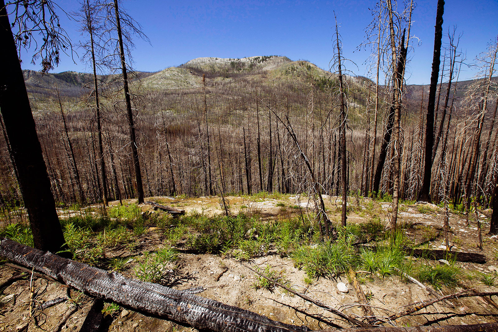
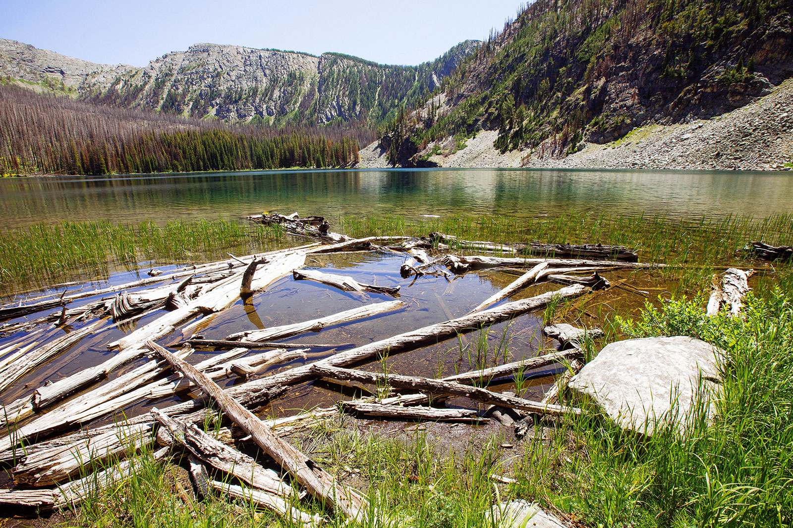
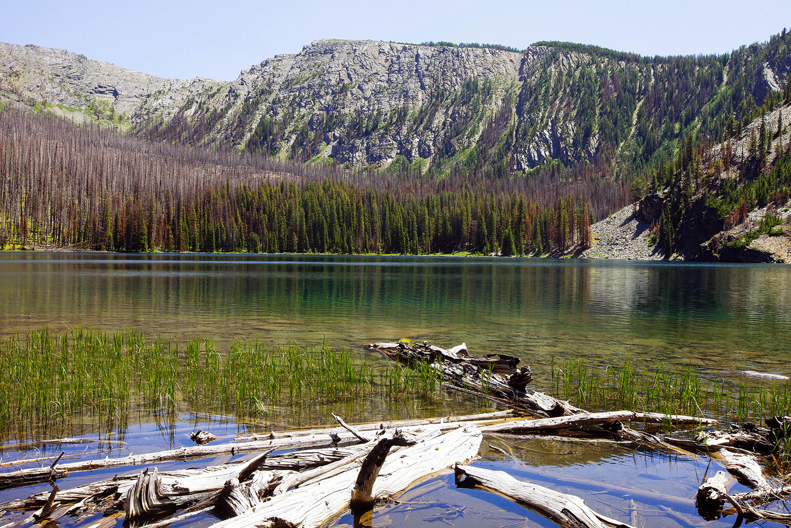
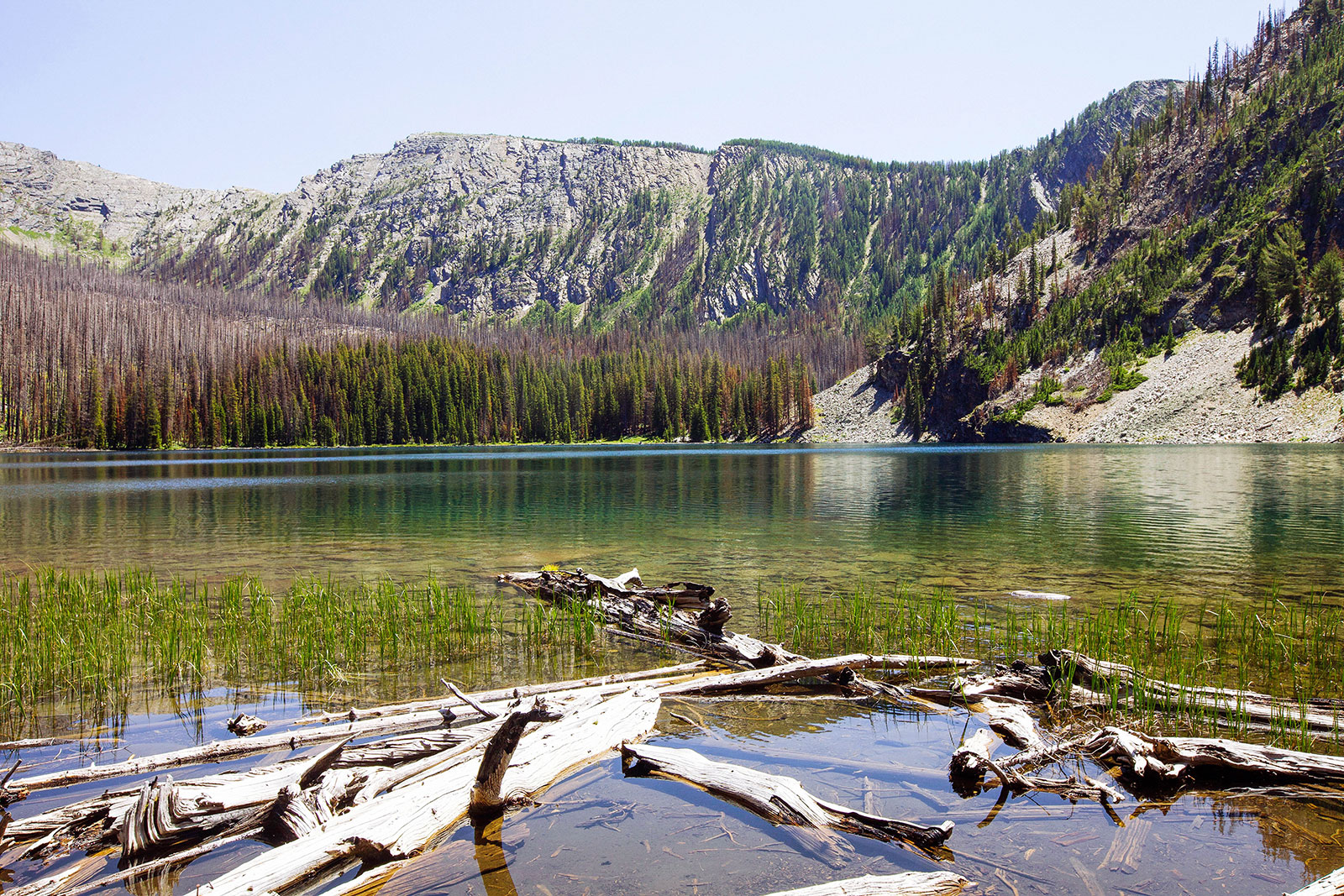
Edith Lake in the Anaconda-Pintler Wilderness is a fairly easy hike. Unfortunately, the surrounding area was burned badly from a fire initiated by a lightning strike in 2017. If you prefer hiking through lush forests, this is not going to offer much of that and is something to be considered when choosing this trail!
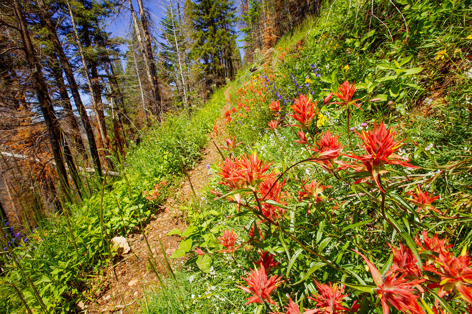
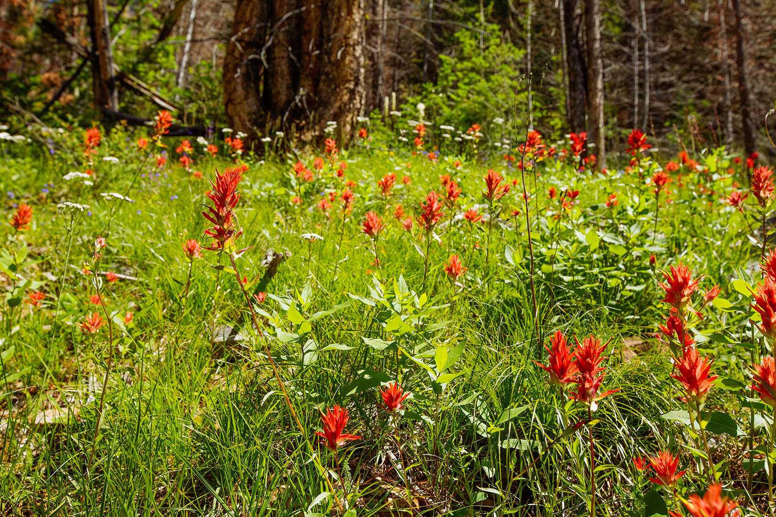
The trail starts out from the northern end of the Middle Fork trailhead parking lot and follows Middle Fork Rock Creek for a 1/4 mile before crossing to the valley you will ultimately be hiking up. The surrounding terrain is obviously burnt, but there is quite a bit of low new growth coming up so it is not entirely baren. The trail meanders up the valley for a few miles of gradual ascent. At about 3-4 miles in, you begin ascending the east valley wall. The trail turns into switchbacks that take you through a small section that avoided the burn. We were treated with an abundance of wildflowers. After the brief, but an enjoyable lush patch of flowers you hike directly south and cross a few rock slides. You turn slightly East just before arriving at the lake. The immediate view is from a pretty badly burnt section, but across the way looked a little greener with possibly better camping opportunities. We stopped here on a backpacking trip, so we continued on and did not check the opposite end out.