Trail Details
Trail Description

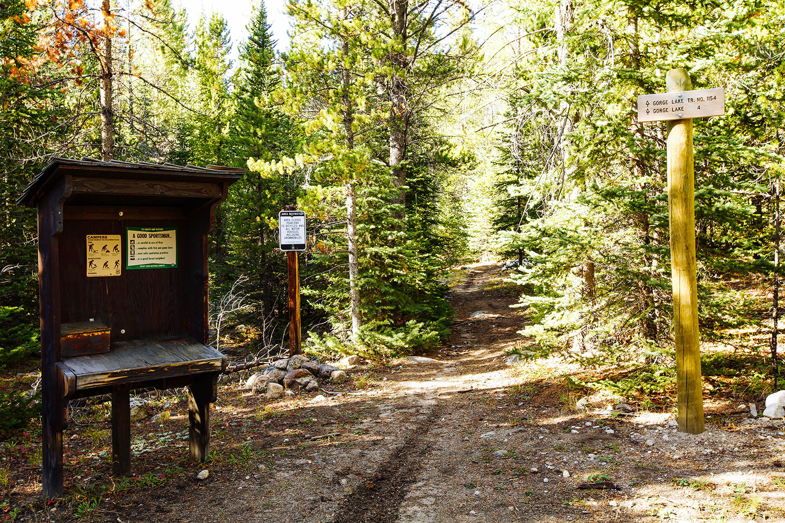
Note: The last mile or so to the Gorge Lakes trailhead is primitive and very rough. You may have to park farther back and have to add on a few extra miles.
Gorge Lakes in the Pioneer Mountains starts out through some fairly lush forests for a mile. After a mile or so the trail opens up to lodgepole pine forests for the next mile or two. The trail does gain some noticeable elevation, but we listed it as easy for the short mileage. Some trail work seems to have been done recently, there are several nice newly constructed bridges along the hike. Getting closer to the lakes you can see the ridgeline poke through between the tops of the trees. The trail leads you to the northern Gorge lake. There are beautiful views and a trail that follows the shoreline. Continue on the path that leads you to the outlet of the lake and there is a trail that takes you to south Gorge lake. This trail isn’t on the forest service maps but is fairly defined. Cairns are along the trail, particularly when you hike over the granite ridge. I always encourage bringing a map and compass, but this trail is pretty easy. Outstanding reward for a relatively easy hike!

