So it Begins.
It was time for a backpacking trip. We had done several day hikes and found ourselves wanting to stay longer for each of them. After putting my fear of bears aside and getting used to our day hikes with no bear sightings so far, we decided to backpack into Granite Lake, Cherry Lake, and Green Lake in the Pioneer Mountains (part of Beaverhead-Deerlodge National Forest).

The Hike to Granite and Cherry Lakes
We had been to the Pioneers before, so we knew what the trailhead roads were like. Since living in Montana, we’ve realized you can’t always drive through some of these National Forest roads. They are usually gravel and can be washed out, have great big boulders in them, and are at times very unlevel. Though we hadn’t been on this road before, we were able to drive within a mile or so from the trailhead. We walked on a road for a .5 miles or so until noticing a sign redirecting motorized vehicles. The sign mentioned a few bridges being washed out, but we felt it was probably manageable by foot. We continued another half mile to the original trailhead where any information was removed from the trailhead post.
From there we hiked up an old road surrounded by fairly dense forests for about a mile. We saw where the redirected road connected back to the trail. Hiking up a little over .5 miles more there is a split where one sign points to Cherry Lake and the other points to Storm Peak. We crossed a bridge to follow the path towards Cherry Lake. From here you gain a bit more elevation, it was starting to become clear that the old road never turned into a foot trail. You can imagine the feeling we had when several 4-wheelers drove past us. Though they were friendly and chatted briefly before continuing ahead of us.
The trail is pretty steep from here on out with a few moderately level exceptions. There are varying forests which you hike through and we saw several cabins that had fallen apart over the years. One had the roof cave in and a bed of flowers was growing inside. It’s amazing how the woods find ways to take back what’s theirs.

First stop, Granite Lake
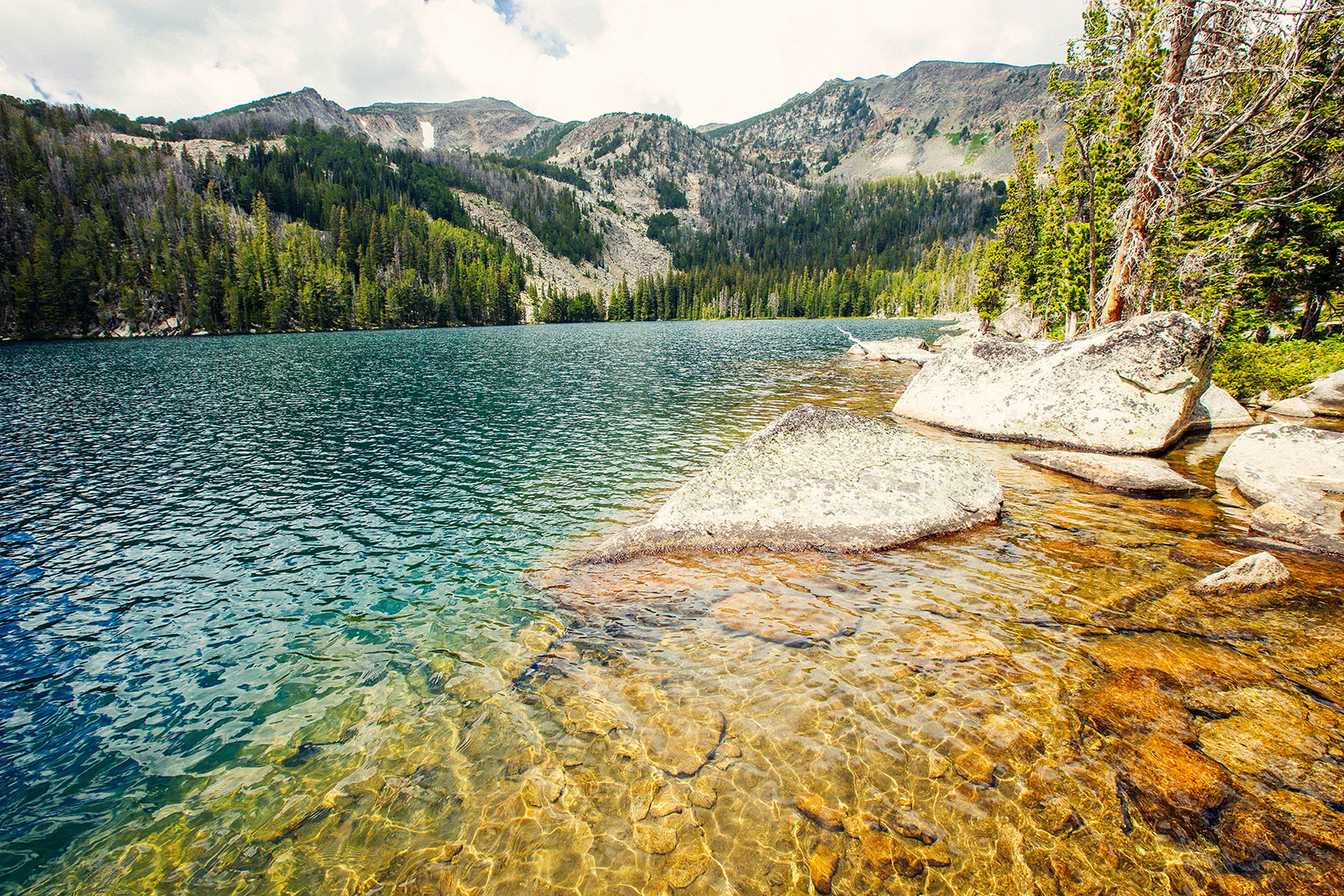
Finally, the elevation levels out and you arrive at a big open field. After the field, you will see the sign pointing towards Cherry Lake or Granite Lake. We started with Granite since it appeared to be the furthest out. When we got there it was not our usual alpine lake experience view wise. You could tell a mountain was just out of view to the left of the lake. Perhaps there was a better view if we hiked towards the right of the lake, but we had other lakes to visit and were looking forward to dropping our overnight packs to set up camp.

Second Stop, Cherry Lake
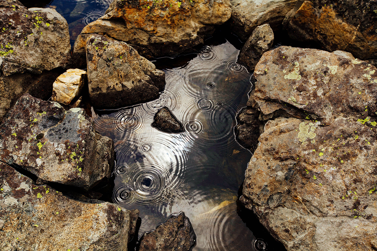
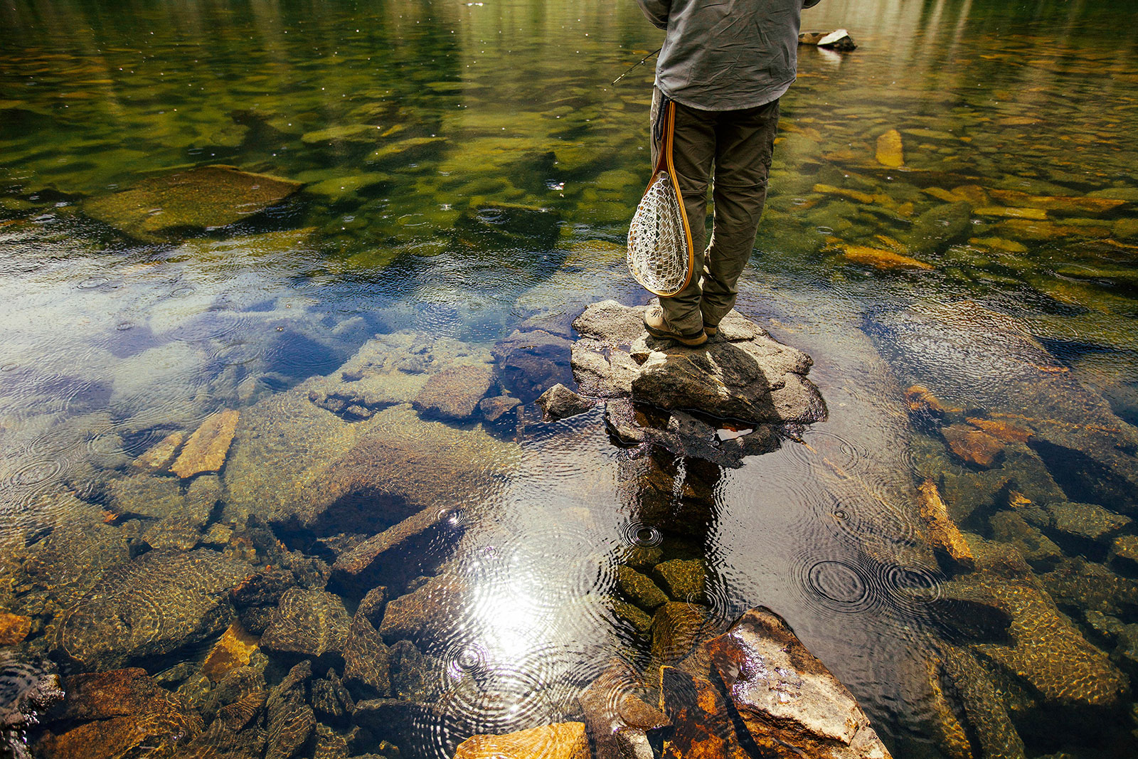
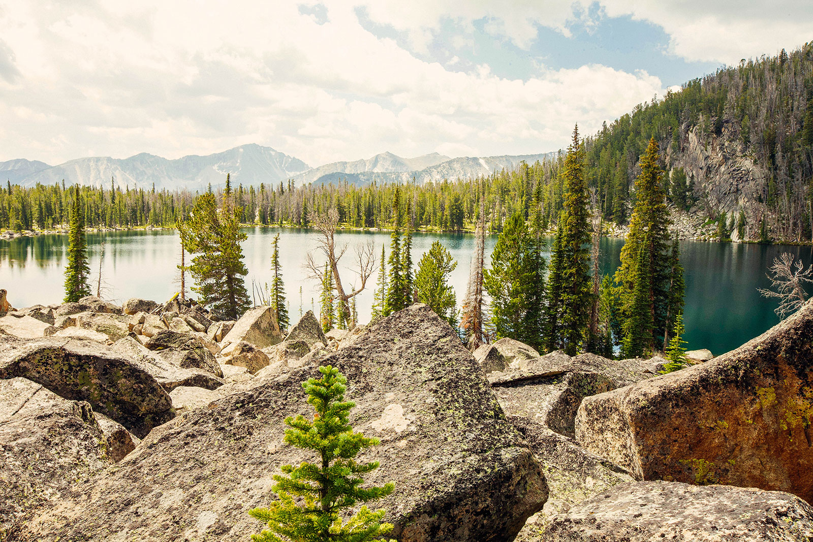
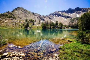
We bushwhacked a short .25 miles to Cherry Lake approaching from a boulder field. Raindrops were falling around us as a brief thunderstorm was rolling through. One of the most peaceful moments of the trip was watching the rain fall on the water surrounding the boulders. We took cover and listened as the thunder rolled through. Apparently, the storm didn’t phase a few fishermen out on the lake in inflatable tubes. Nothing deters a serious fisherman.
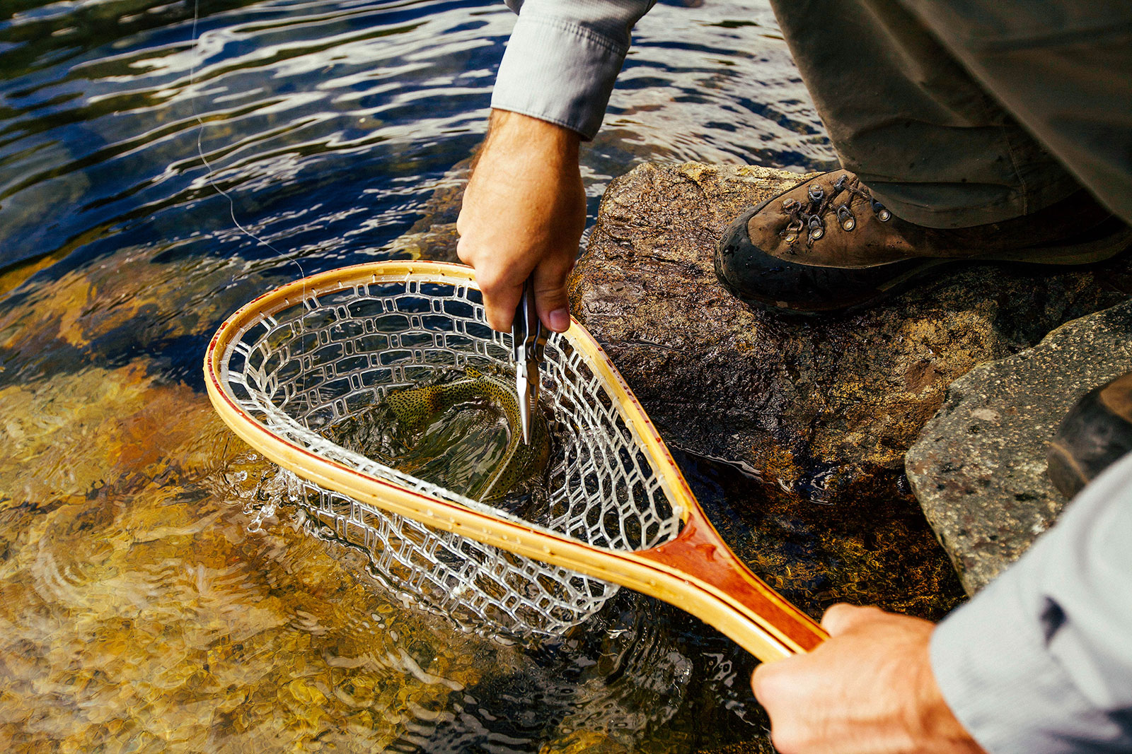
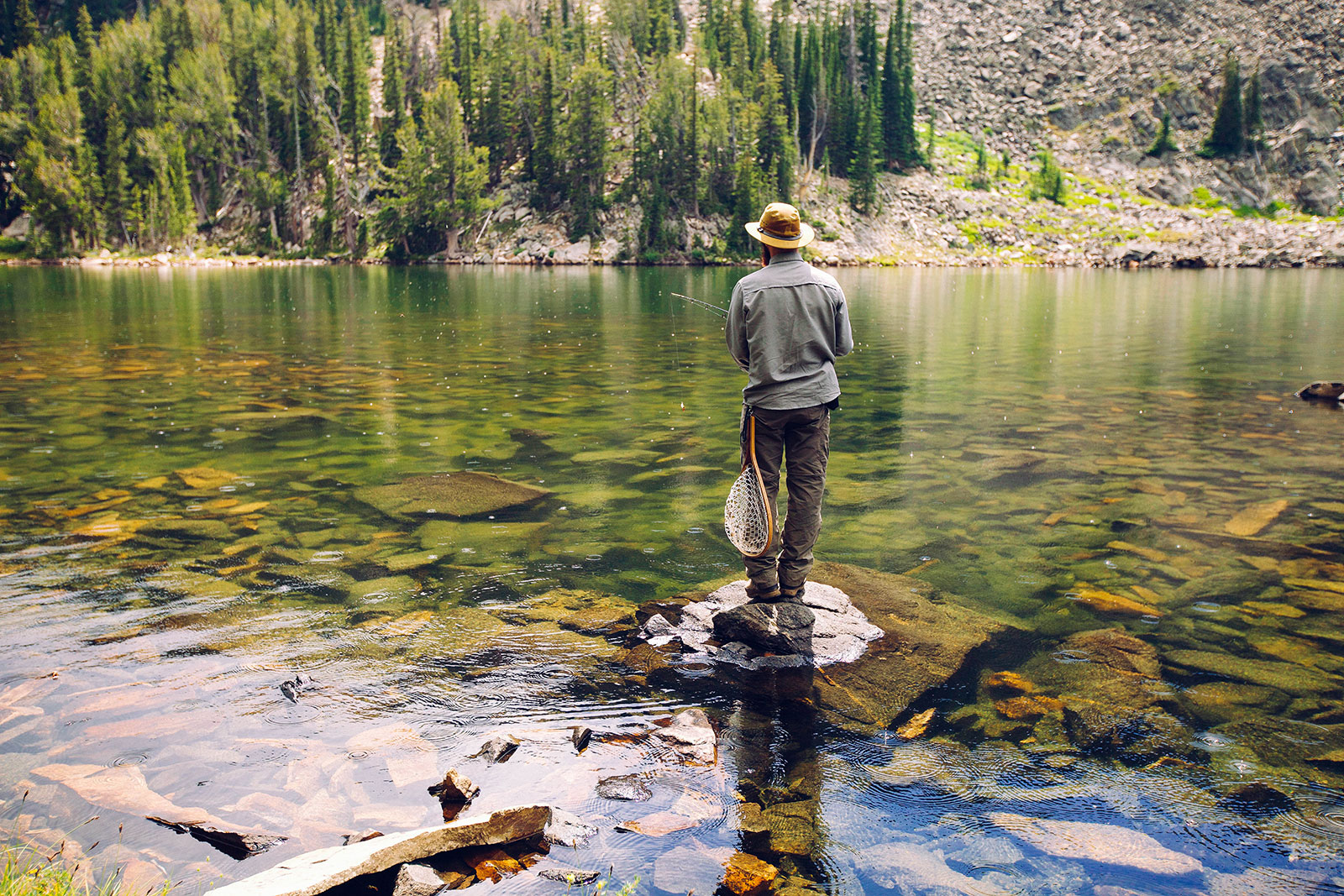
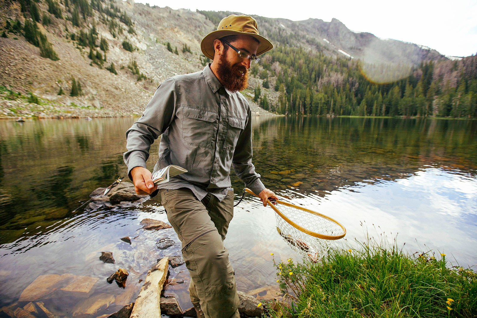
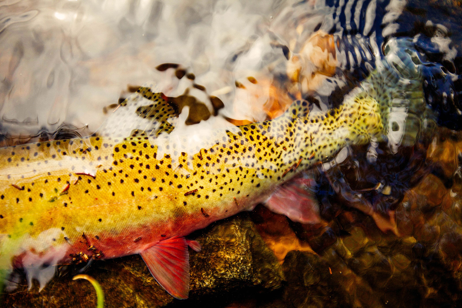
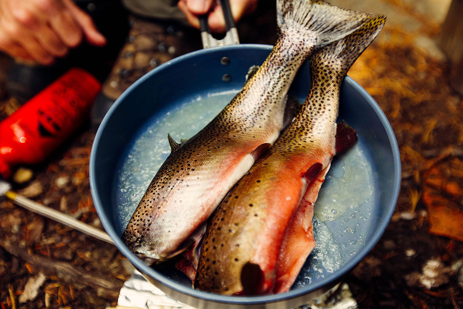
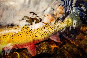
When the thunder sounded to be at a safe distance Mitch fished for an hour or so catching several beautiful cutthroat trout.

Setting up Camp
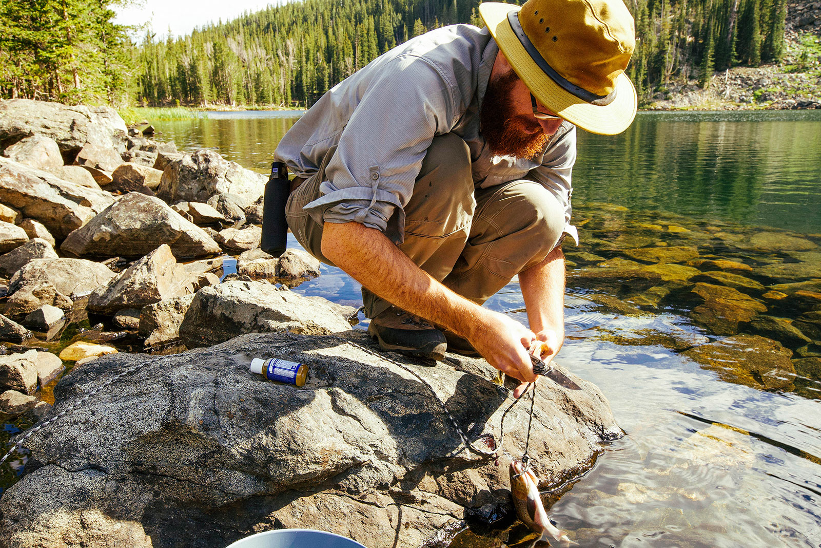
After an hour or so of fishing and exploring the lake’s shoreline, we set up camp. We chose a location for the tent and decided where to hang our food away from where we slept for the night. We then chose our location for dinner which was away from our tent and campsite. We ended up eating two of the fish he caught, which were delicious! I hadn’t felt more self-sufficient out in the wilderness than in that moment. With the anticipation of catching a fish, Mitch brought along the fresh trout necessities: butter, salt, and pepper. Needless to say, we ate well that night.

Onward to Green Lake
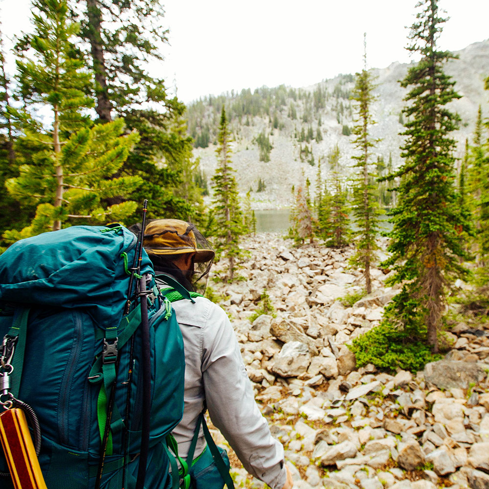
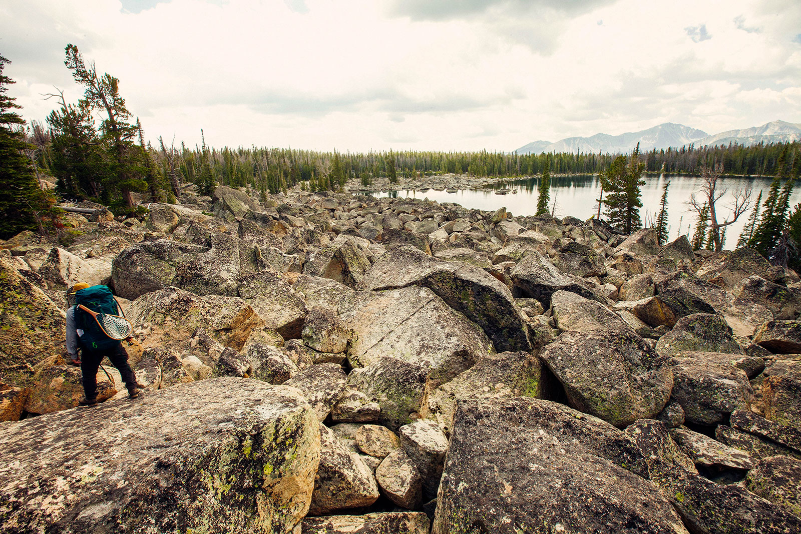
After a good nights rest we woke up, did our morning routines, packed up camp and headed over to Green Lake. This was by far the most unique lake we had been to so far. There is no defined trail to Green Lake so we used a GPS to give us our general direction. This hike was not accessible to 4-Wheelers and noticeably hadn’t been frequented as often as the the prior two. We approached the lake over the largest boulder field I had seen so far. By large, I don’t mean the length of the boulder field but the size of the boulders themselves. It was a bit more challenging to find a path with such varying heights. The view of the boulder field with Granite mountain to the right was truly a unique site. We spent an hour or so fishing before making our way back to civilization.

Last But Not Least, Our First Bear Encounter
We were pretty happy to have not had any bear encounters so far. Though that cherry was popped when we were within a mile of our car. I saw a black bear grazing in a sage field at a good distance. I stopped and told Mitch right away. After letting out a ‘Hey Bear!’, within a split second the bear huffed it up a steep hillside out of view. Luckily it was a black bear which is known to be significantly less threatening to encounter. Though it still gave a good heart thumping, which had me watching our backs rest of the way to our car. When we got home we were looking at our GPS path. Turns out our encounter happened in Bear Gultch. I’d say that is an accurate name.



8 Comments. Leave new
Dude I love your website, it is so easy to navigate and such fun colours! Plus of course great info and photography. I would love to hike around Montana, one day eh !!!
Thanks Emma!
I absolutely love your work. My wife and I are headed to Columbia Falls and the surrounding area next week for a 7 day adventure. I am seriously deterred by the amount of tourists who hike the Glacier Lake area and wondered if you had any advice on alternative routes?
Hi Kemp – Thanks for reaching out! We actually haven’t explored the Glacier area much for that same reason. We can only offer advice for Southwest Montana. Hope you have a great trip and are able to find the solitude you’re looking for!
Went to Green Lake just yesterday (Oct 5, 2019). 2 to 6in of snow the entire hike. Those large rocks at the lake we’re icy and scarry. I wish I had seen your post before deciding which of the 3 lakes to visit.
Hey Ed – Yeah, those rocks at the edge are no joke! Glad you made it out safely.
I want to make a backpack trip up to these three lakes right after I graduate, I was wondering what the best flys would be to use up there?
They’re probably still frozen now. We imagine they’d be good to visit in early July. We don’t have any advice to offer on flys as we are dirty spin reel anglers 🙂