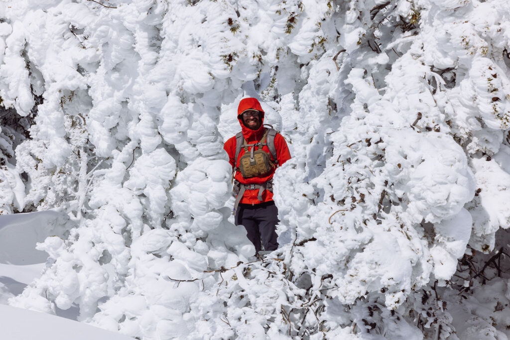
Ski Touring in Montana After a Late Winter Storm (Snow Ghosts & Arctic Conditions)
A late-season storm rolled through just before winter gave way to 70-degree days, and we knew we needed to get…
Read More


This short article goes over our 3-day itinerary spent in Glacier National Park. The itinerary is great for most abilities and can be viewed as a family-friendly option.
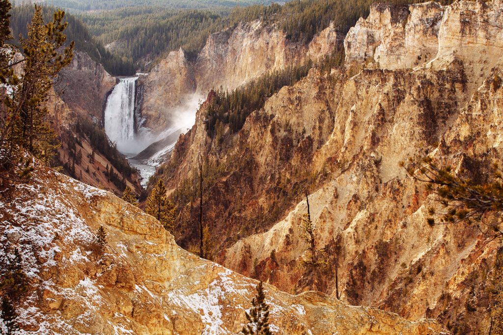
Things to do with a weekend in Yellowstone National Park. Read what we were able to see in 3-days driving around the park.

Read about an overnight experience in one of Montana’s Lookout Towers.

Discover winter trail systems, nearby hikes, and nordic ski trails near Butte.

Things to see while driving the Pioneer Mountains Scenic Byway. Located Near Butte, Anaconda, and Dillon in Montana.

The Beaverhead-Deerlodge National Forest is a hikers paradise. Read about a summer exploring this Montana forest in solitude.

Read about backpacking in Montana’s hidden treasure: the Pioneer Mountains.
