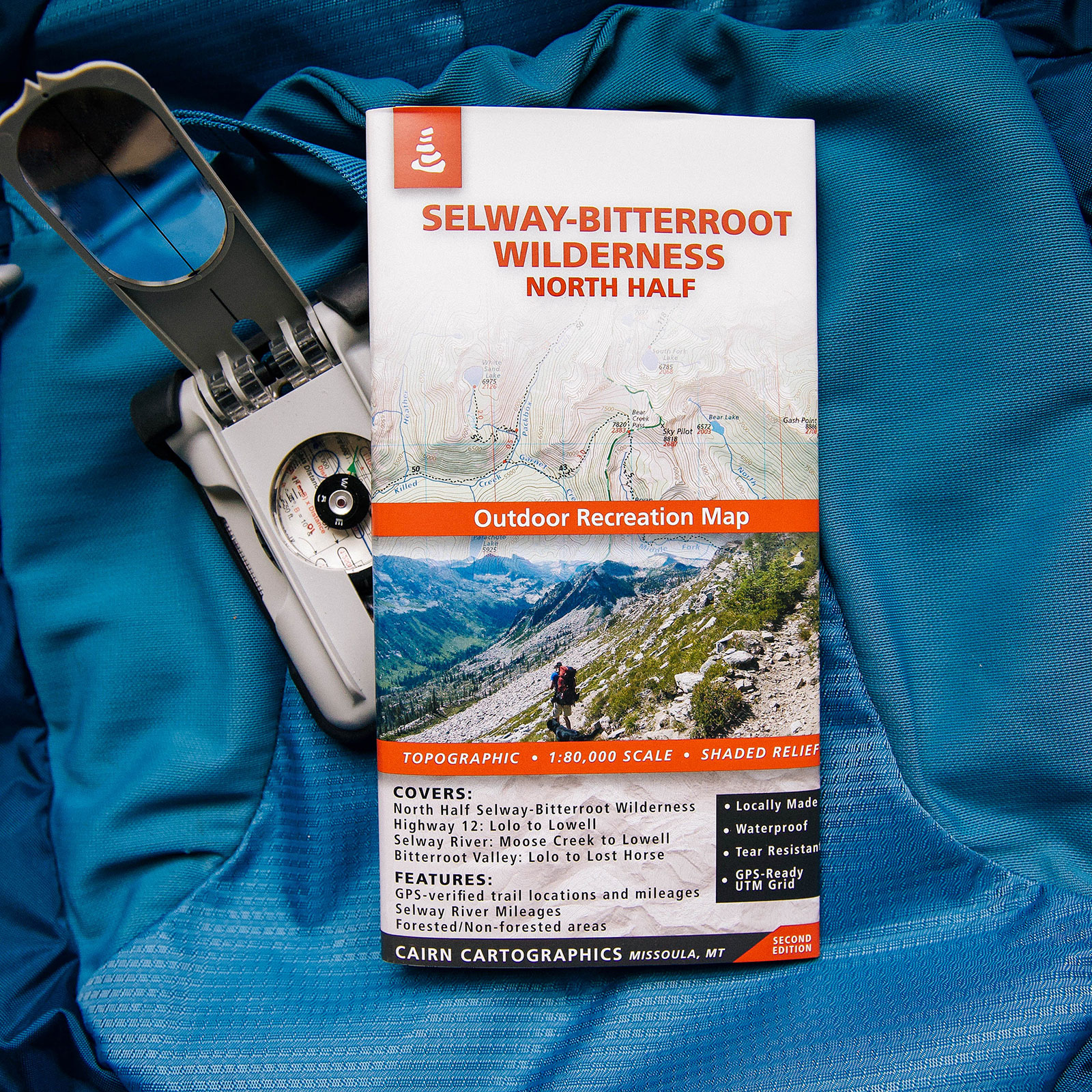
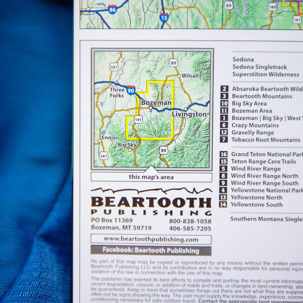
Features
- Waterproof, tear-resistant plastic
- Topographic / shaded relief
- Forested and non-forested areas
- GPS verified trail locations and mileages
- GPS-Compatible UTM and Lat/Long grids
- 1:80,000 scale
- Contour interval: 100 feet
- River mileages on the Bitteroot and Selway Rivers
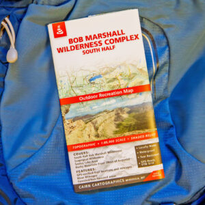
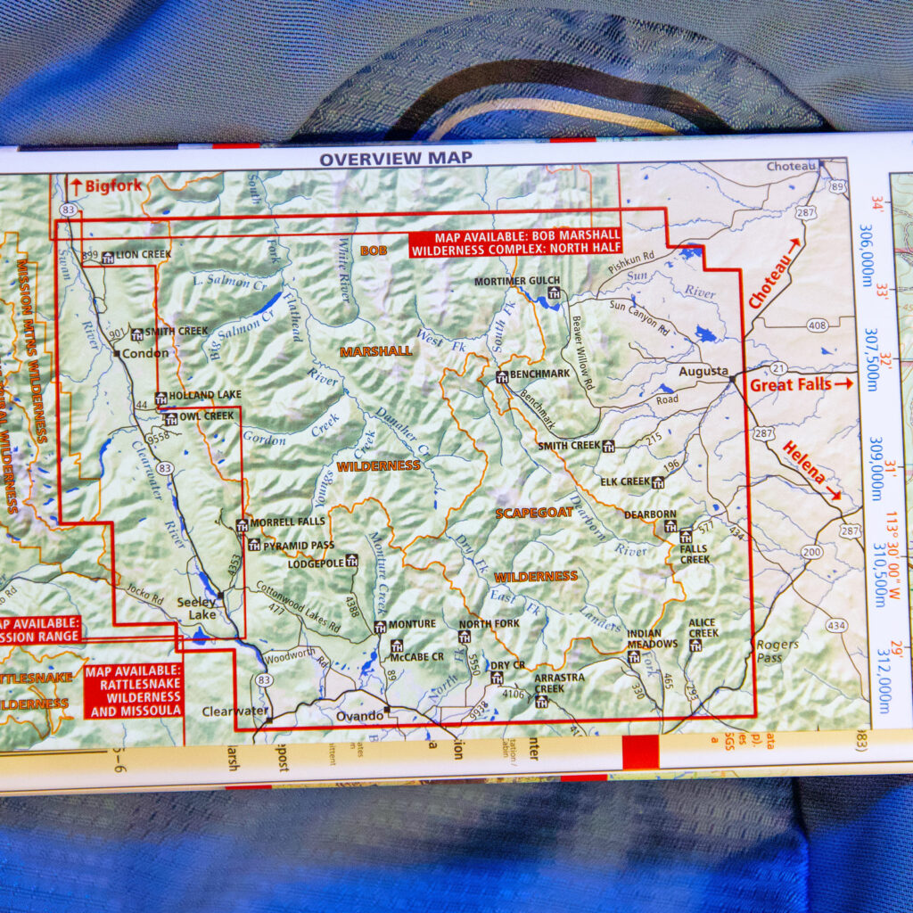
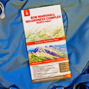
Covers
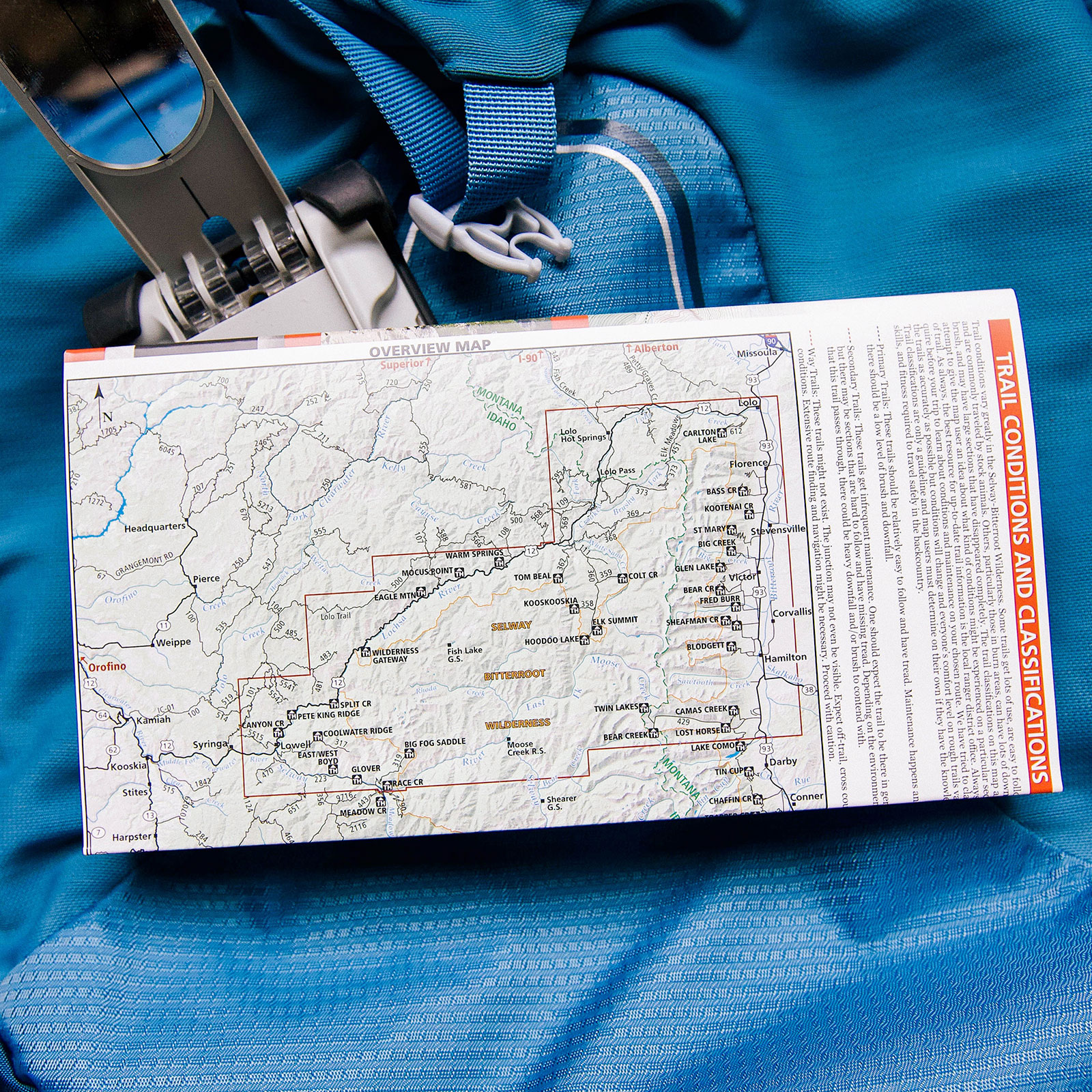
- North Half of the Selway-Bitteroot Wilderness
- Highway 12: Lolo to Lowell
- Montana’s Bitterroot Valley: Lolo to Lost Horse
- Selway River: Moose Creek to Lowell
- Bitterroot River: Wally Crawford Access to Lolo

Reviews
There are no reviews yet.