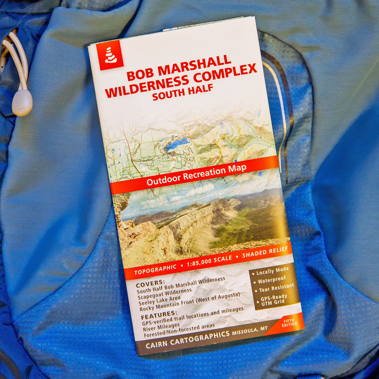
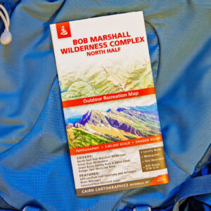
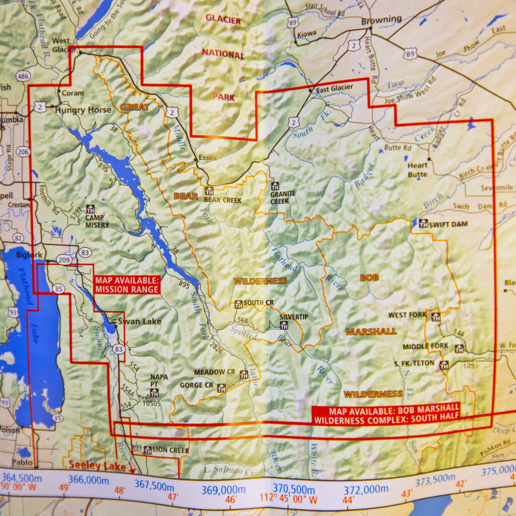
This high-quality map covers the South Half of the Bob Marshall Wilderness in Montana.
Features
- Waterproof, tear-resistant plastic
- Topographic / shaded relief
- Forested and non-forested areas
- GPS verified trail locations and mileages
- River mileages for South Fork Flathead River
- UTM and Lat/Long grids
- 1:85,000 scale
- Contour interval: 100 feet
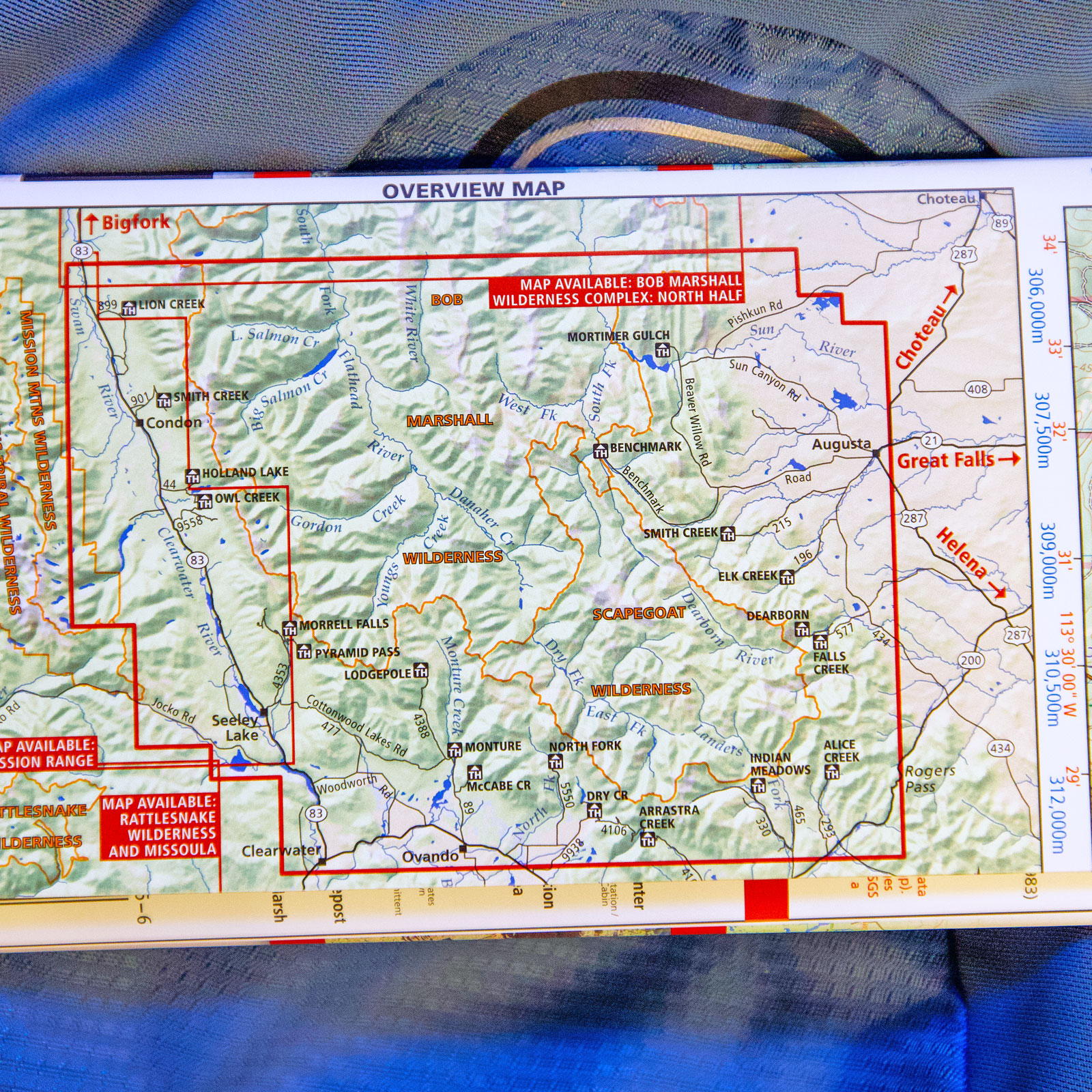
Covers
- South half of The Bob Marshall Wilderness Complex
- Entire Scapegoat Wilderness
- Seeley Lake area (east of highway 200)
- Rocky Mountain Front (near Augusta)
- Chinese Wall
- South Fork Flathead River- Youngs/Danaher confluence to Black Bear cabin


Reviews
There are no reviews yet.