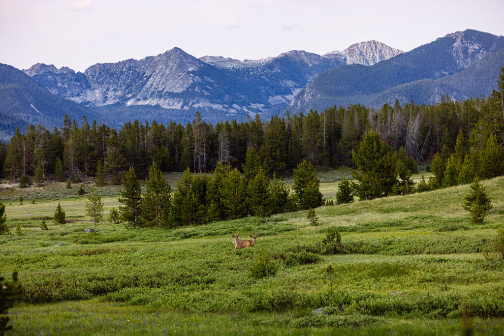
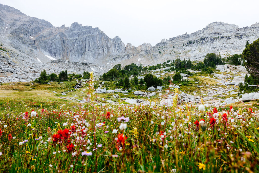
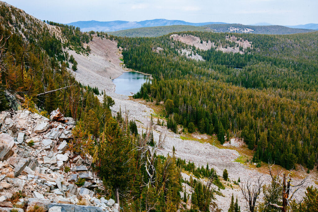
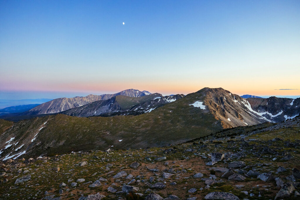
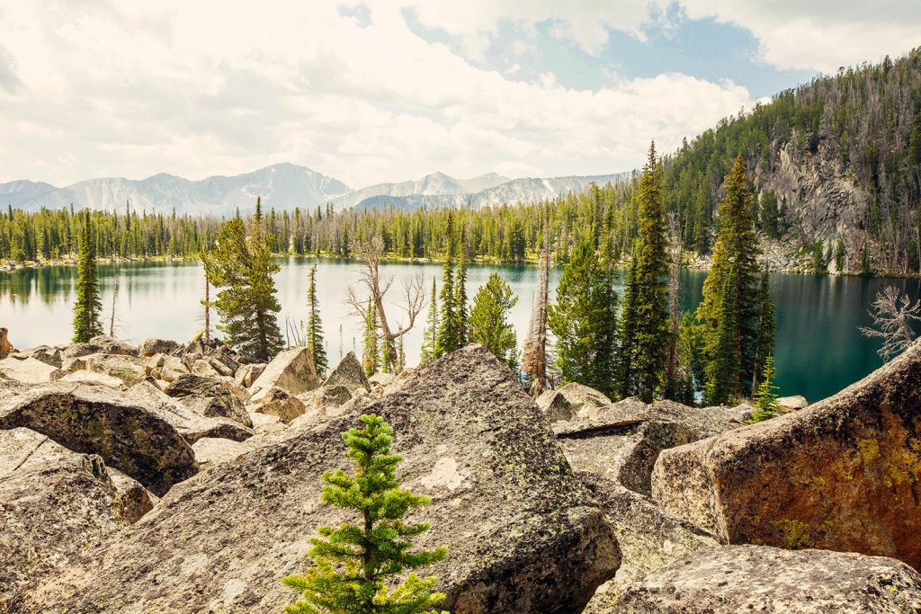
The Pioneer Mountains have a distinctly different feel from many of Montana’s better-known mountain ranges. The landscape is rugged and dry, with steep granite ridges rising above dense forests, alpine meadows, and a surprising number of mountain lakes scattered throughout the high country.
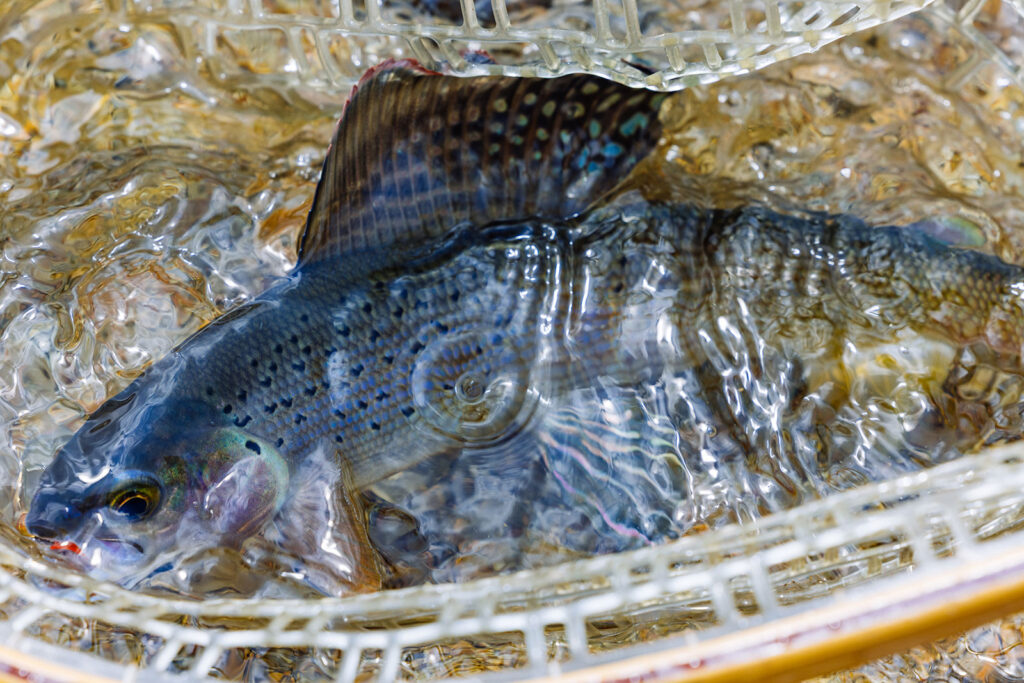
Several of these alpine lakes are home to Arctic grayling, one of Montana’s most distinctive fish species. Recognized by their large, sail-like dorsal fins, grayling are a special part of the Pioneer Mountains and a memorable sight for anglers and wildlife enthusiasts.
The range also contains evidence of Montana’s mining history, including historic mining sites and nearby ghost towns, such as Coolidge.
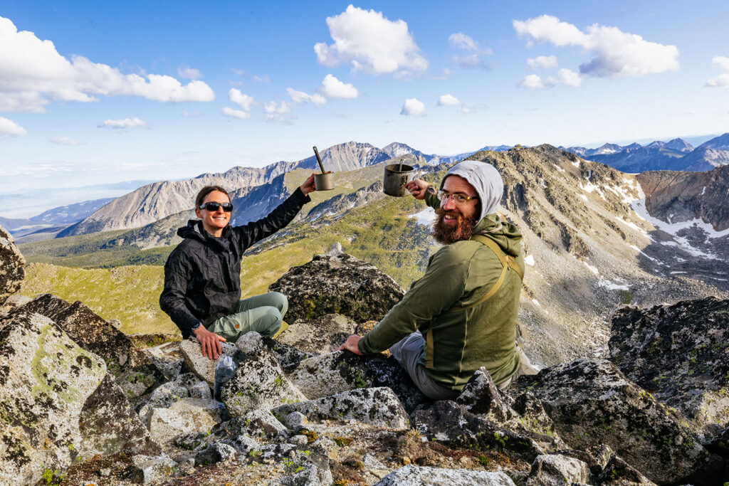
The East Pioneer Mountains are currently managed as a Recommended Wilderness. We’d love to see this landscape permanently protected through full Wilderness designation, helping preserve the wild character and natural beauty that make this range so special.
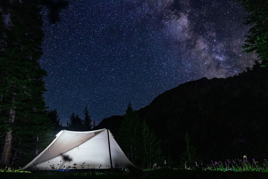
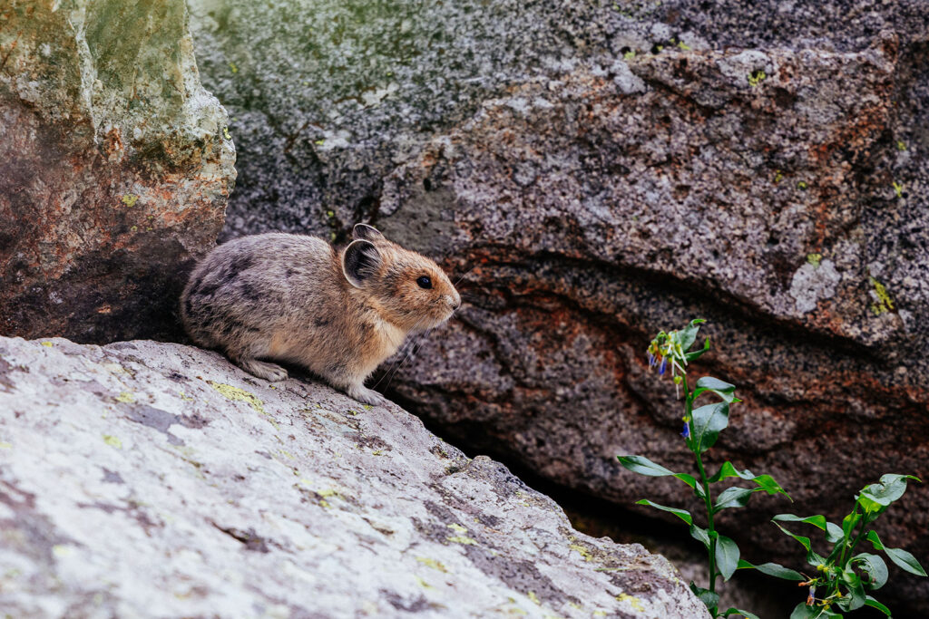
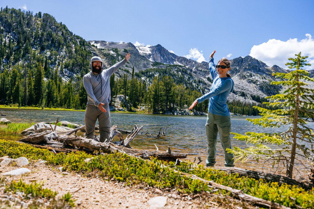
The combination of rugged scenery, alpine recreation, historic landscapes, and unique wildlife makes the Pioneer Mountains one of our favorite places to explore in southwest Montana.
