Trail Details
Trail Description

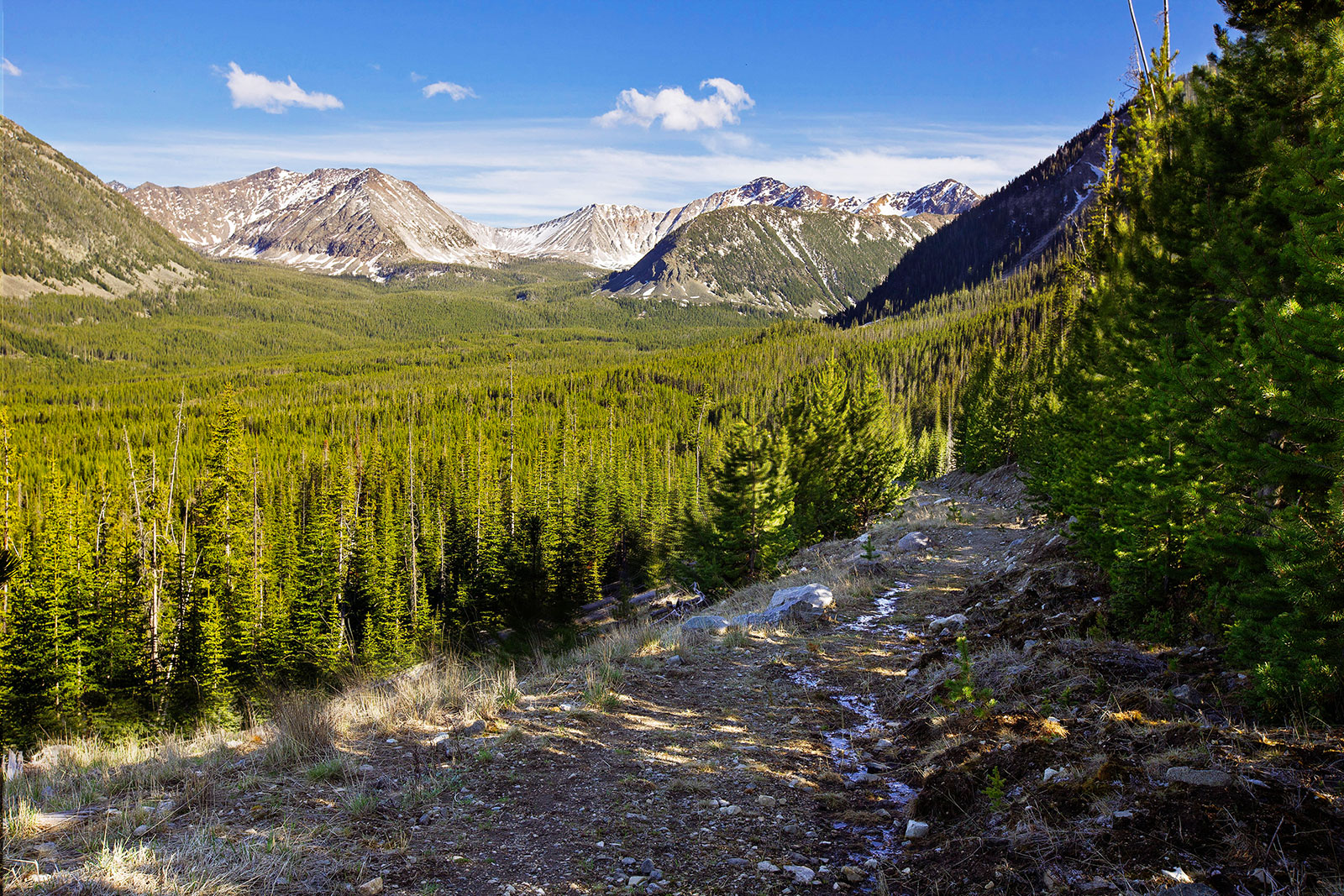
The Fourmile Basin Lakes in the Anaconda-Pintler Wilderness is a popular hike. The trail starts up a hill towards an old logging road. After this relatively short hike up the hill, the trail leads into a very open valley. The open valley treats you to a few sneak peek mountain views along the trail. The trail meanders down the valley with not much incline for 1.7 miles until you hit a split. Here is where you can decide to go to Twin Lakes or Fourmile Basin Lakes. You’ll take a right from here and head west to Fourmile. Shortly after the split, you’ll see a wetland area and cross a bridge before gaining some elevation. You’ll gain some elevation on these switchbacks up along the ridgeside. There is an incredible view looking back down into the valley and you can see Mt Evans and Mt Howe looking south. You’ll get up to a plateau next to the ridge and continue to follow the old road. The old road seems to end and the trail then goes into denser woods. The hike through the denser woods has a fairly gradual incline for about a mile before you reach the first lake. To continue to the second lake, there is a trail east of the first lake that is only .5 miles further. The denser ~1 mile to the first lake and .5 miles to the second still had a good amount of snow when we hiked it end of May. Given the lower elevation of the lakes, Fourmile Basin Lakes (~8000s) makes a good late Spring hike. Consider buying the Anaconda-Pintler Trial Map if you want to know more about the surrounding mountains, lakes, and trails.


