
Trail Description

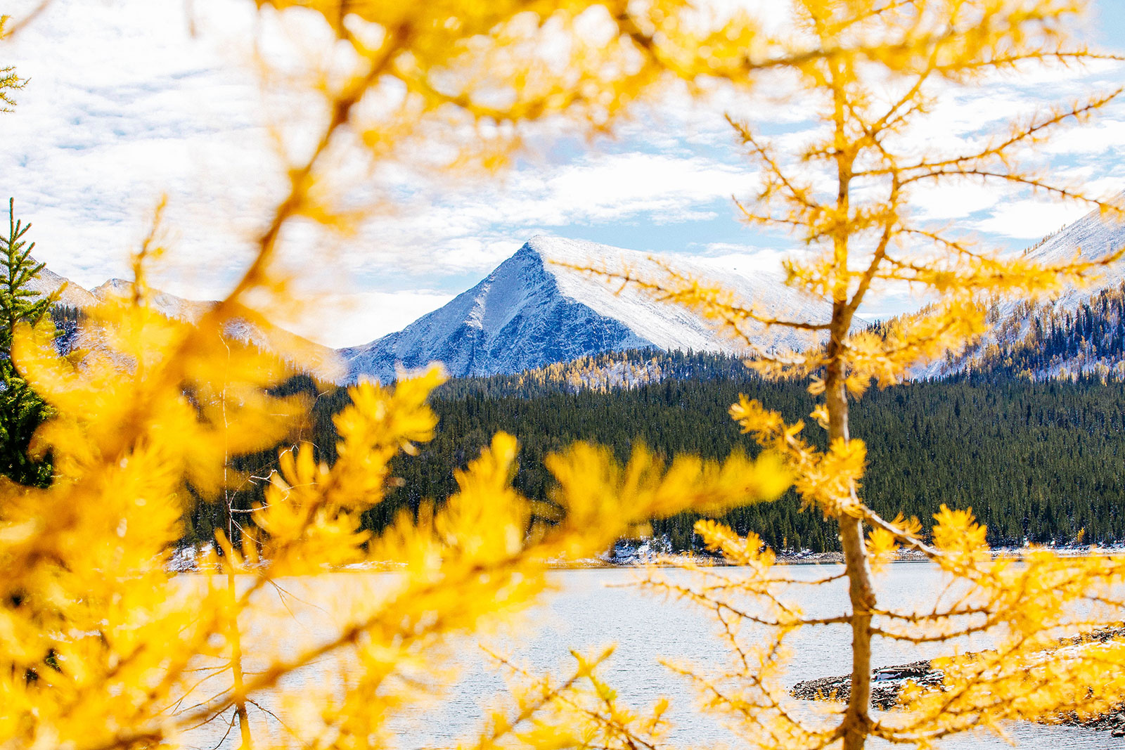
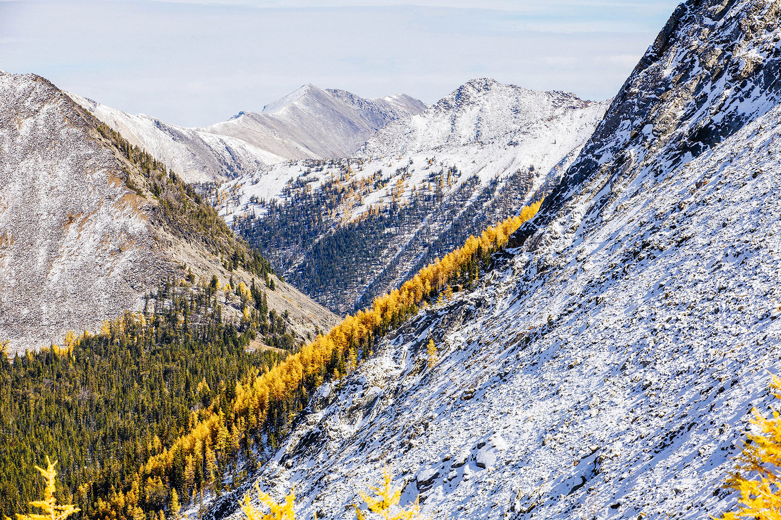
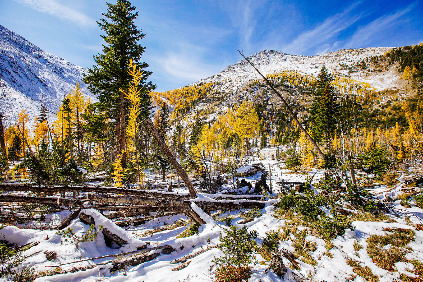
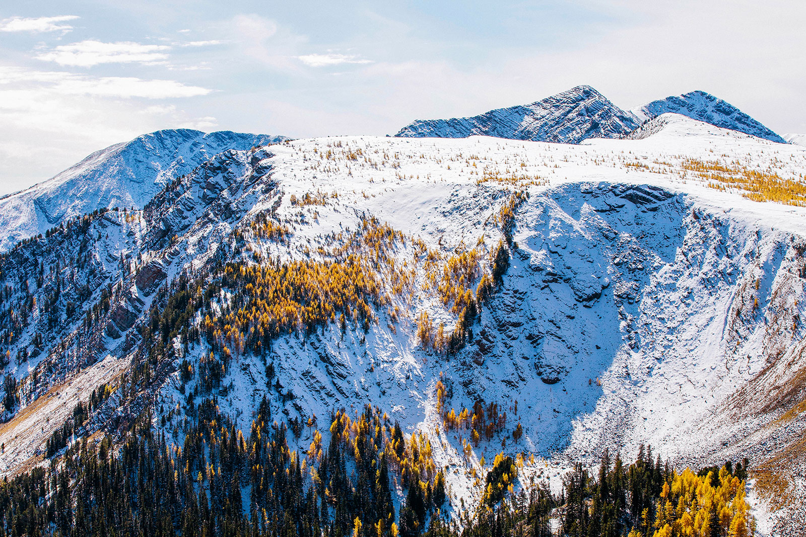
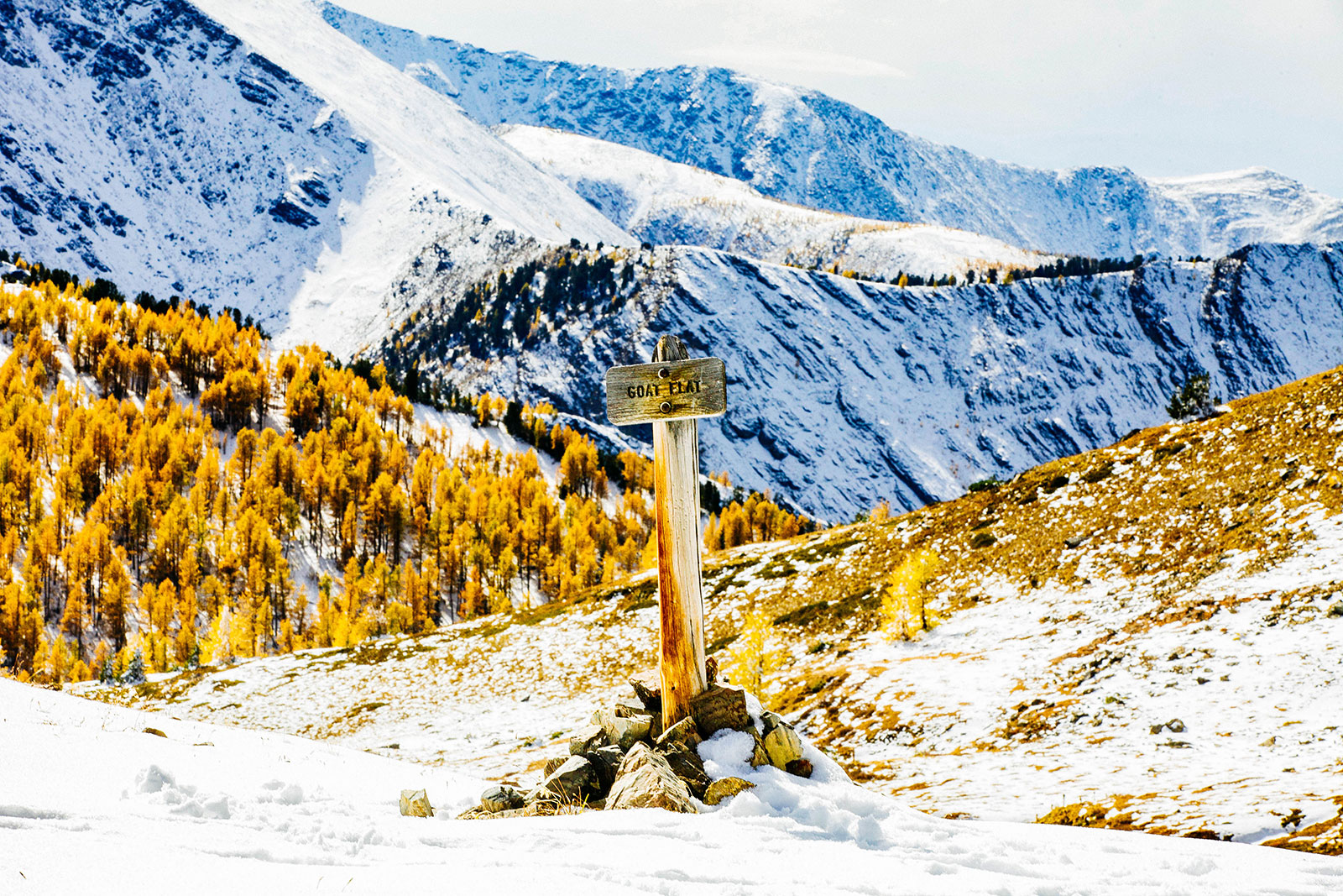
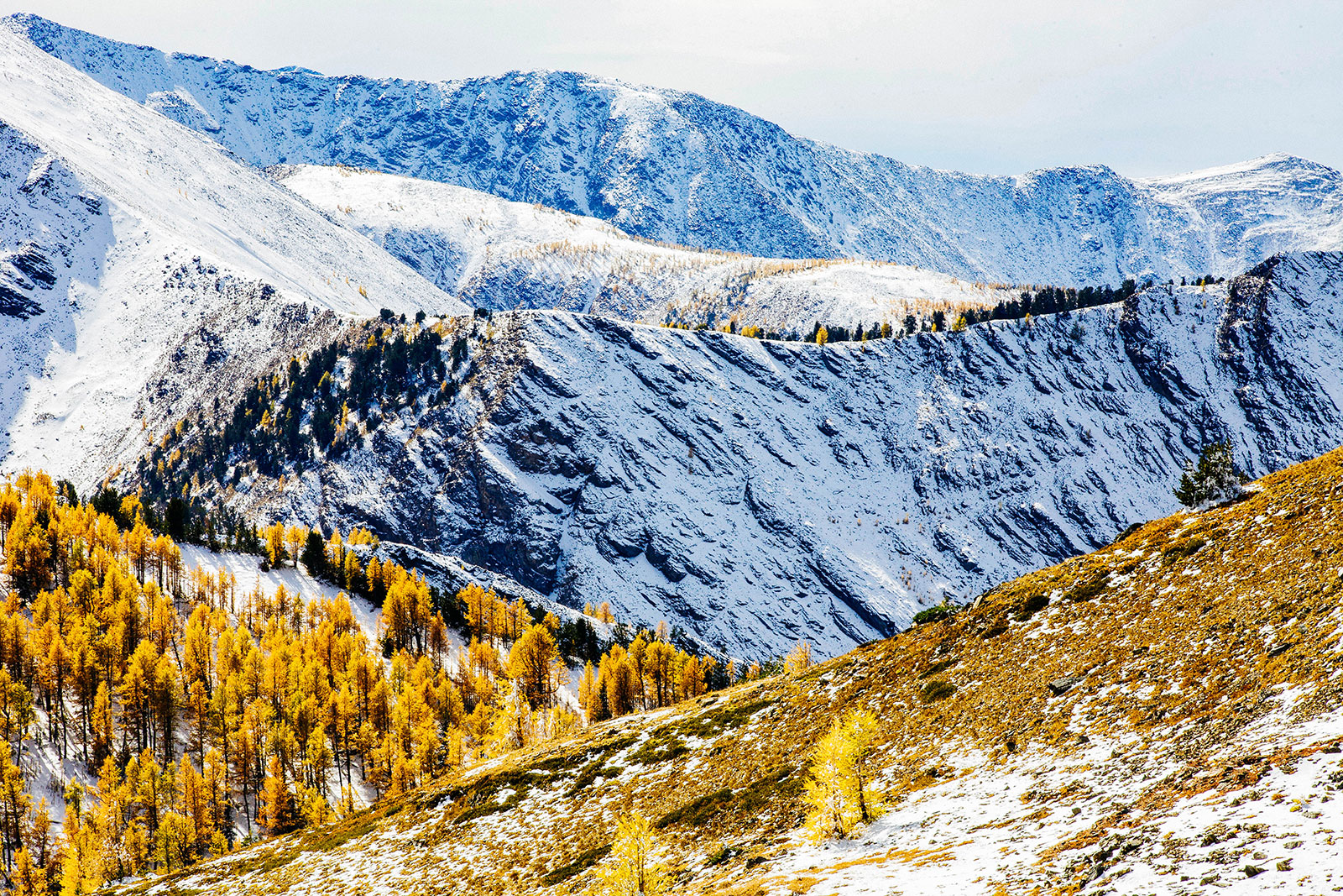
Goat Flats in the Anaconda-Pintler Wilderness is a popular day hike. The trail starts from a dam and the quickest route is through the western side of the lake loop. You will hike over easy terrain for .75 miles or so. At the end of the lake, you will follow a trail that continues away from the lake up into a valley. There will be a signpost near a small wetland. Follow the trail up into the valley for several switchbacks for another mile. You will reach a flat area in which the trail skirts around towards the mountain pass. Follow more switchbacks up to the pass-through a tamarack forest. At the pass, you will see a trail cut into the side of the mountain. Follow this trail to Goat Flats. Enjoy the view and be sure to stay on the marked trail.
Looking to add more to your day? You can continue on to Page Lake and Flower Lake.