Howe Mountain

Trail Details

Miles
11 Round Trip

Elevation Gain
3630ft

Difficulty Level
Hard

Trailhead Coordinates
45.991151, -113.183019
* Google maps does not give accurate directions – do not rely on them! Reference these coordinates while looking at a road map.

Trail Description

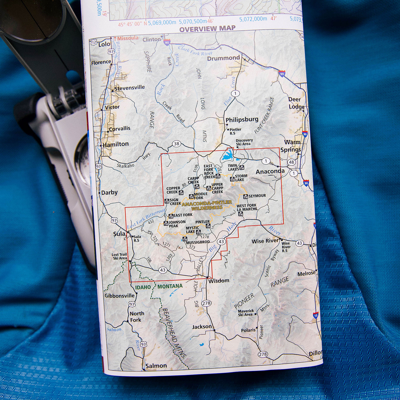
NOTE: Part of this hike is trailless so you will need to be comfortable navigating with a map and compass or have a GPS.

Howe Mountain starts out hiking next to a swampy section of Seymour Creek for .25 miles. After that, you will hike through very level terrain varying from small open fields to open forests. The hike through the canyon lasts for 3 miles. When arriving at approximately 46.026418, -113.225963 coordinates you will turn right and start the bushwack towards the ridgeline saddle. You will gain significant elevation during this ~1 mile hike to the ridge. At times we thought we had found a herd path, but fallen timber has removed any obvious trail to the ridgeline.  From the ridge, you will hike over a somewhat stable rocky ridge to the summit. This is estimated at around 1.25 miles from the saddle to the summit. Magnificent views of Mt Evans and the Seymour Creek valley up to upper Seymour Lake. We, unfortunately, didn’t have time to make the last .5 miles to the actual summit for daylight reasons – but we tracked and calculated the distances we had with what was left.