Trail Description

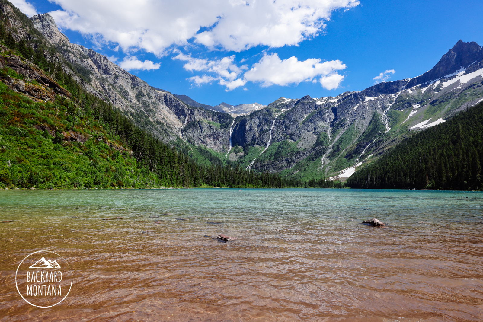
Avalanche Lake located in Glacier National Park is an easy hike to the experienced hiker or a moderate/hard hike for an inexperienced hiker.
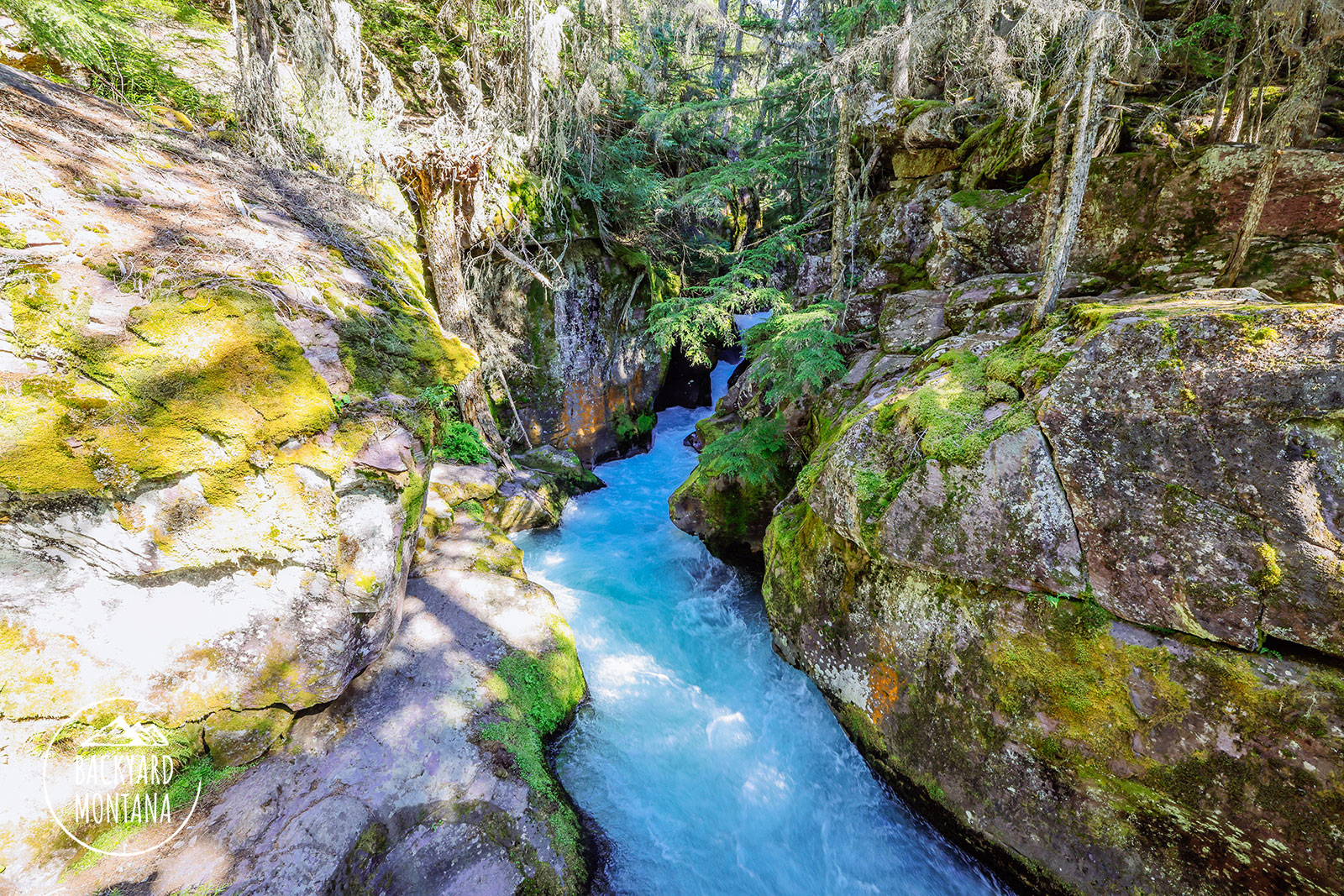
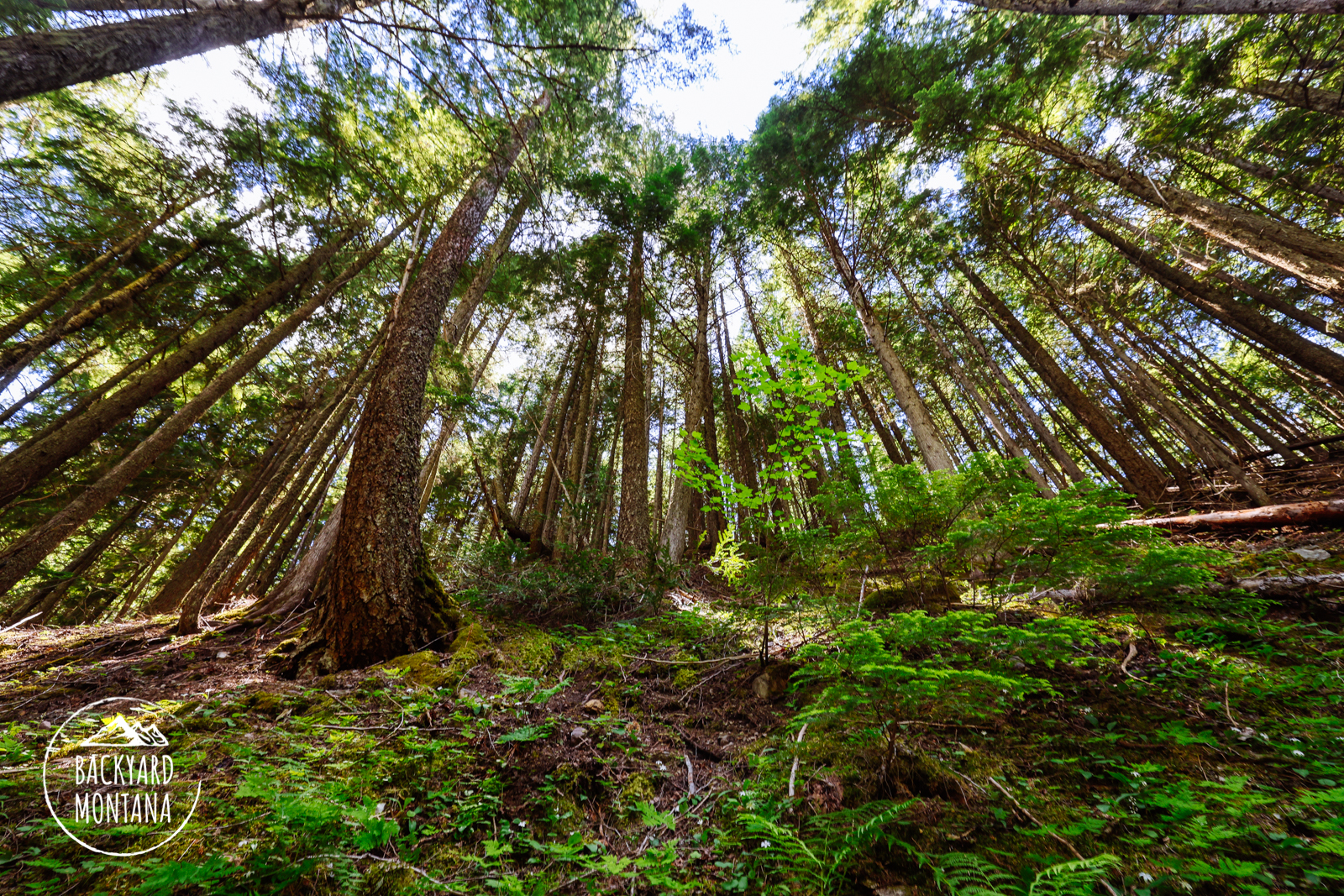
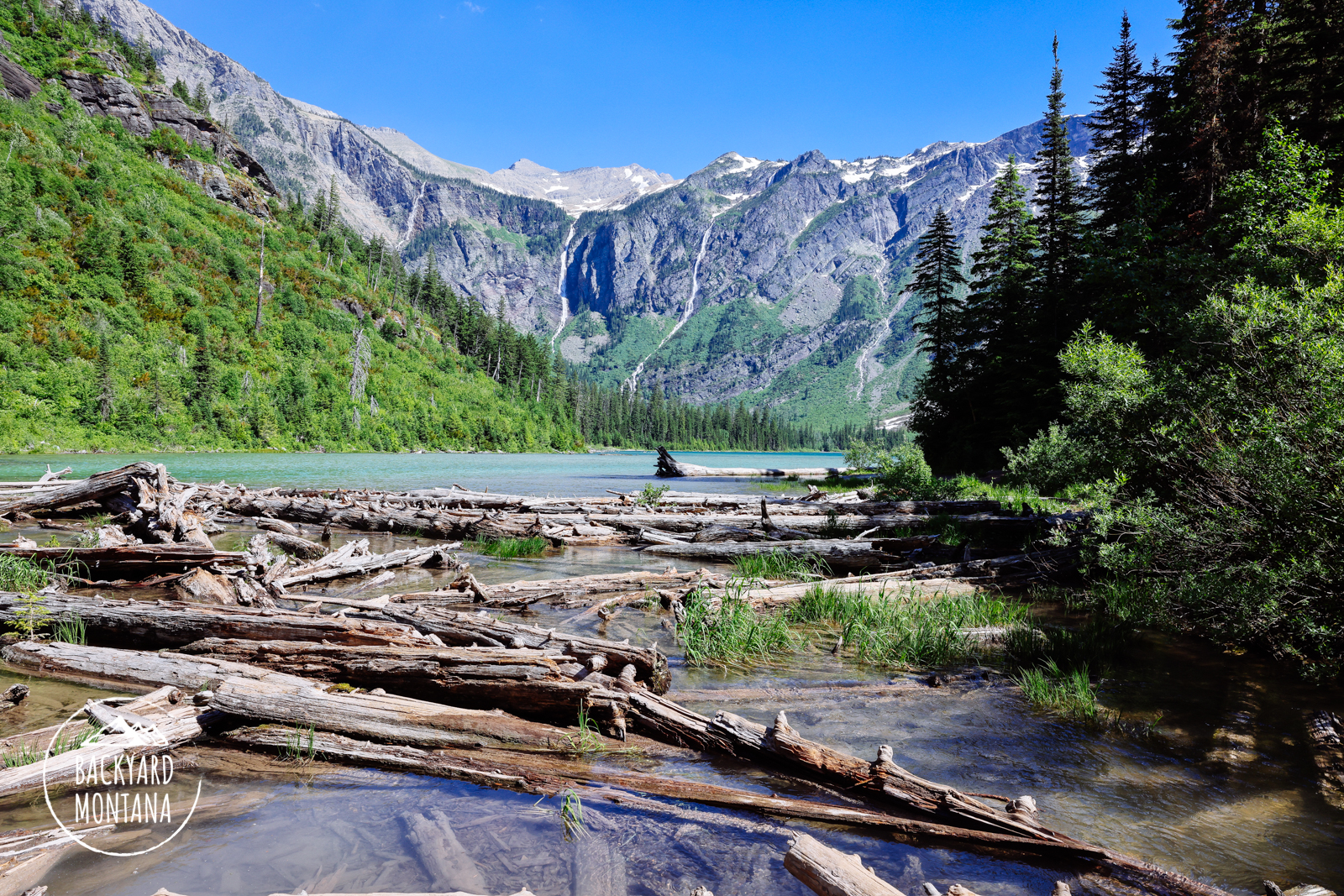
The trail to Avalanche Lake is a well-traveled trail and starts from the far end of the Trail of Cedars trailhead. There is a helpful map of the hike where the Avalanche Lake trail begins. From here the hike begins up a short but steep hill. The trail follows Avalanche Creek which is a beautiful photography location as well as a nice place to dip your feet. After about .5-miles, the trail veers away from Avalanche Creek and passes through a fairly open forest for about another half mile. The trail goes through a blowdown area that has been cleared which yields a nice view looking towards Mt Cannon and Hidden Lake drainage. You hike for about .75-miles winding through the fur tree forest. The trail begins to be surrounded by denser deciduous bushes as you get closer to the lake. You descend slightly to the lake and your first view looks out over the lake from the outlet with logs collecting. Just a few feet from that, you will reach various openings to step out onto the lake’s sandy shoreline. Avalanche Lake has great views of waterfalls descending from the Sperry Glacier at the top of the plateau.
Note: This hike is in Glacier National Park. Check current rules and regulations by visiting the Glacier National Park website.