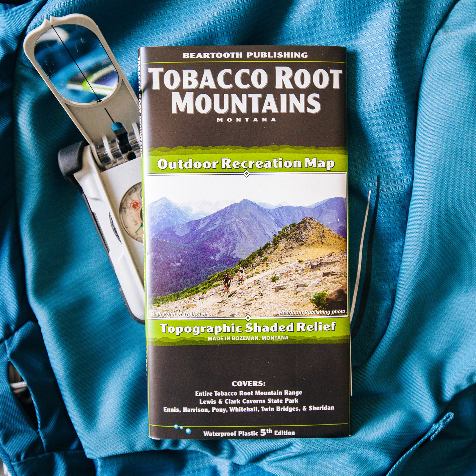
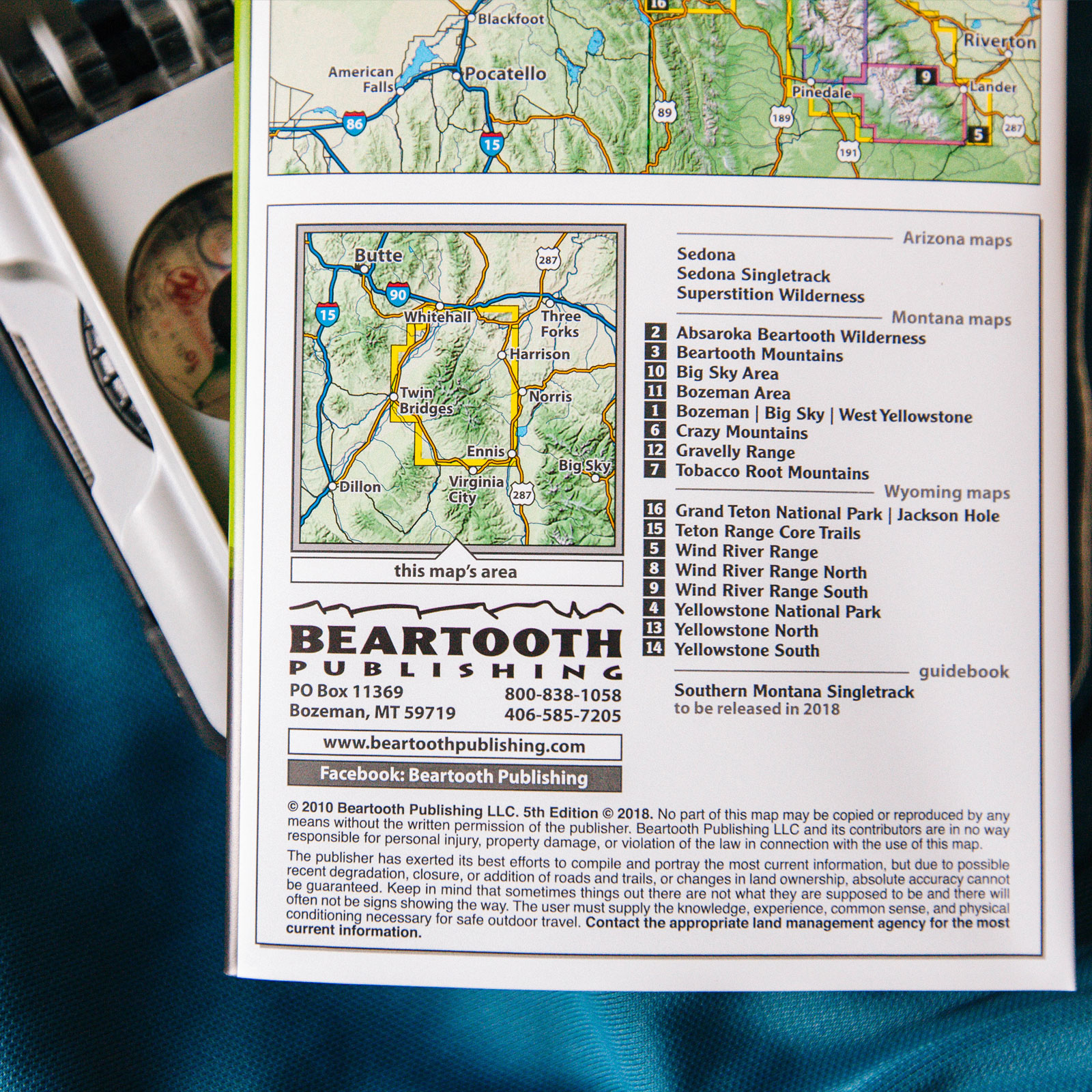
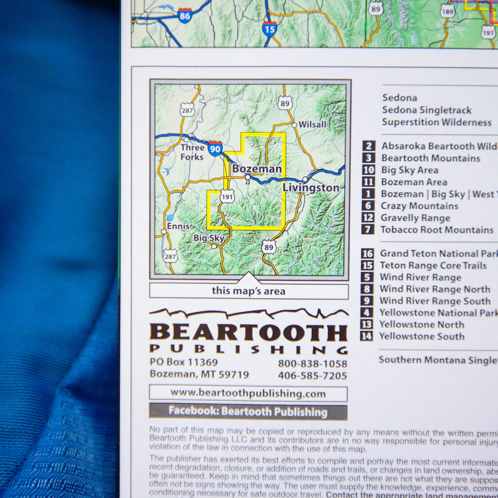
Curly Lake

Trail Details

Miles
6.8 Round Trip

Elevation Gain
1931ft

Difficulty Level
Moderate

Trailhead Coordinates
45.638120, -112.032213
* Google maps does not give accurate directions – do not rely on them! Reference these coordinates while looking at a road map.

Trail Description

The hike to Curly Lake located in the Tobacco Root Mountains is a fairly easy-moderate hike. The trail begins up a steep hillside that rewarded us with an abundance of wildflowers and a view looking south with a distant view of Middle Mountain. You’ll hike along this grassy/sage hillside for about .8 miles. The trail then meanders through the woods alongside Curly creek for about 1 mile. At about 2.5 miles in, the trail follows several switchbacks up the north side of the valley through fairly dense forest. You’ll get a few sneak peek views of the mountains behind Curly lake. When you arrive at Curly lake, you can hike around the lake or continue just a little further to an open field with fantastic views of the mountains behind. Our maps show these mountains aren’t named, but they are undoubtedly beautiful.

Note: There is an alternate trail further down the road, but it is about the same mileage. Also, the road traveling to the alternate trail is VERY rough.