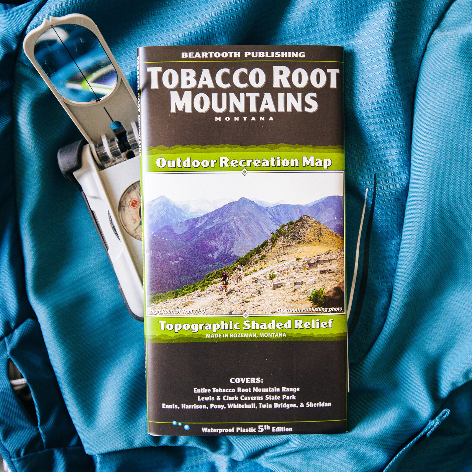
This high-quality map covers the Tobacco Root Mountains in Montana.
Features
- Scale: 1:50,000
- Contour interval: 50 feet
- Size unfolded: 25.2 x 39.2 inches
- Size folded: 4.2 x 8.0 inches
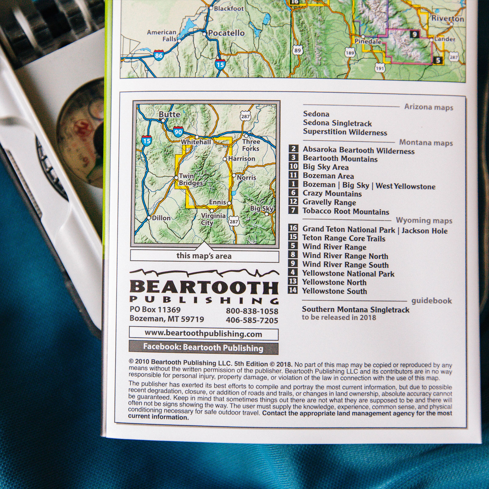
- Edition: 5th Edition, 2018
Covers
- Entire Tobacco Root Mountain Range
- Lewis & Clark Caverns State Park
- Ennis, Harrison, Pony, Whitehall, Twin Bridges, and Sheridan.


Reviews
There are no reviews yet.