Trail Description

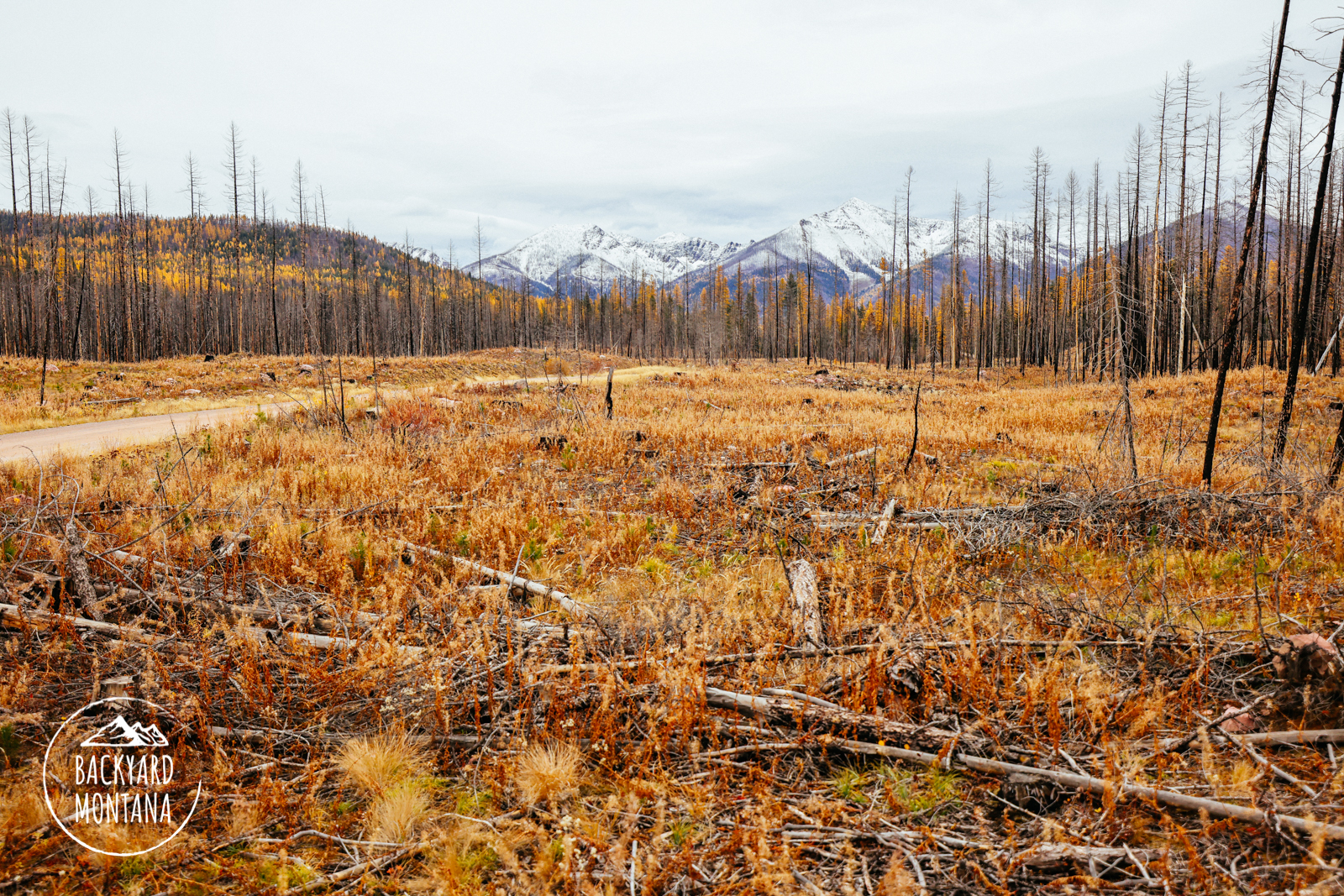
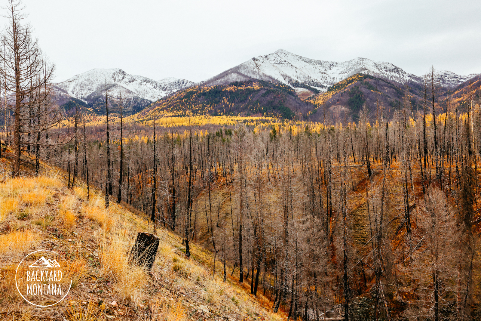
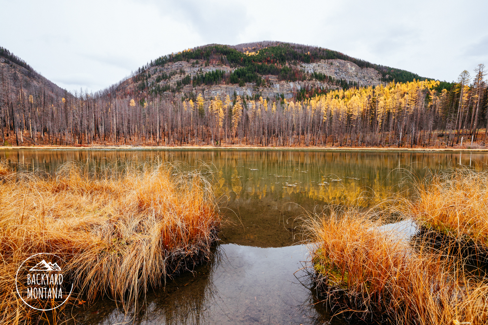
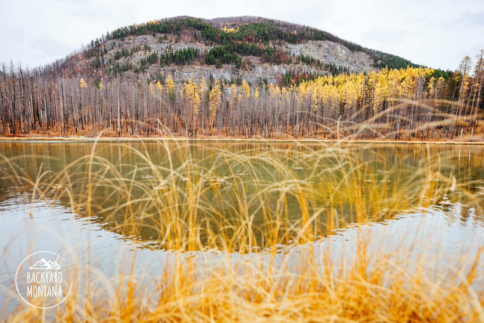
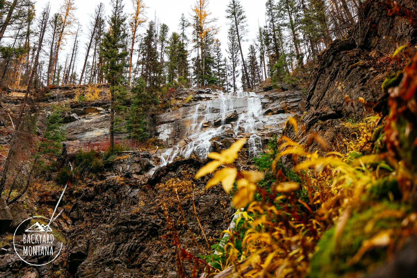
The Morrell Falls hike in the Swan Mountains is a fairly easy family-friendly hike. The trailhead is very established with plenty of parking and an outhouse. From the trailhead, you begin the hike on a fairly wide trail that passes over mostly level terrain with a few rolling hills. You will notice the trail travels through a somewhat recent burn from the Rice Ridge Fire in 2017. The entire length of the trail to the waterfall is through this burn. There aren’t a significant number of views along most of the trail. When you see bodies of water that look like ponds beside the trail, you are close to the waterfall. The larger body of water is called Morrell Lake which is fed by Morrell Falls. Once at the falls, you can enjoy the unique rock colors and the roughly 70-foot waterfall.
Right before the falls, we noticed another trail that appeared to ascend rather quickly up from the Morrell Falls trail to the north side of the falls. The trail is named the Grizzly Basin trail on our map. We did not follow that trail, but it definitely caught our attention. For another day!