Trail Description

We began the Page Lake and Flower Lake in the Anaconda-Pintler Wilderness begin from the same starting point as our Storm Lake Loop trail.
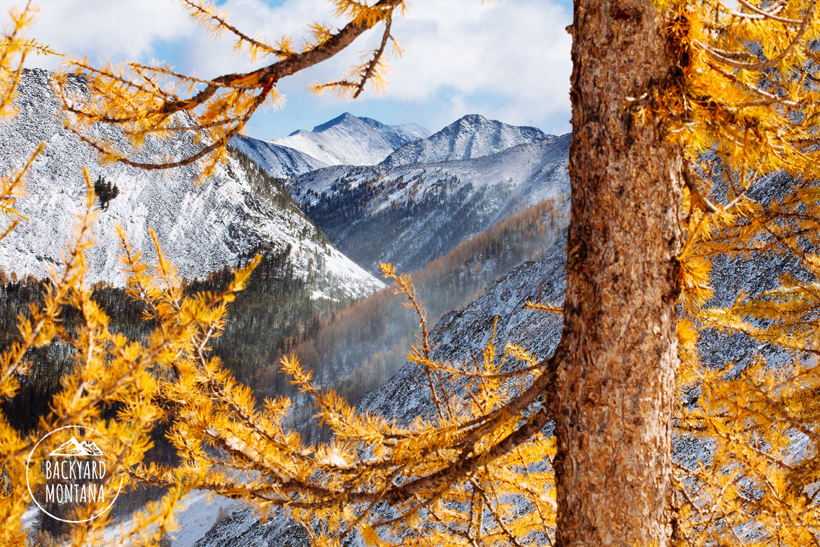
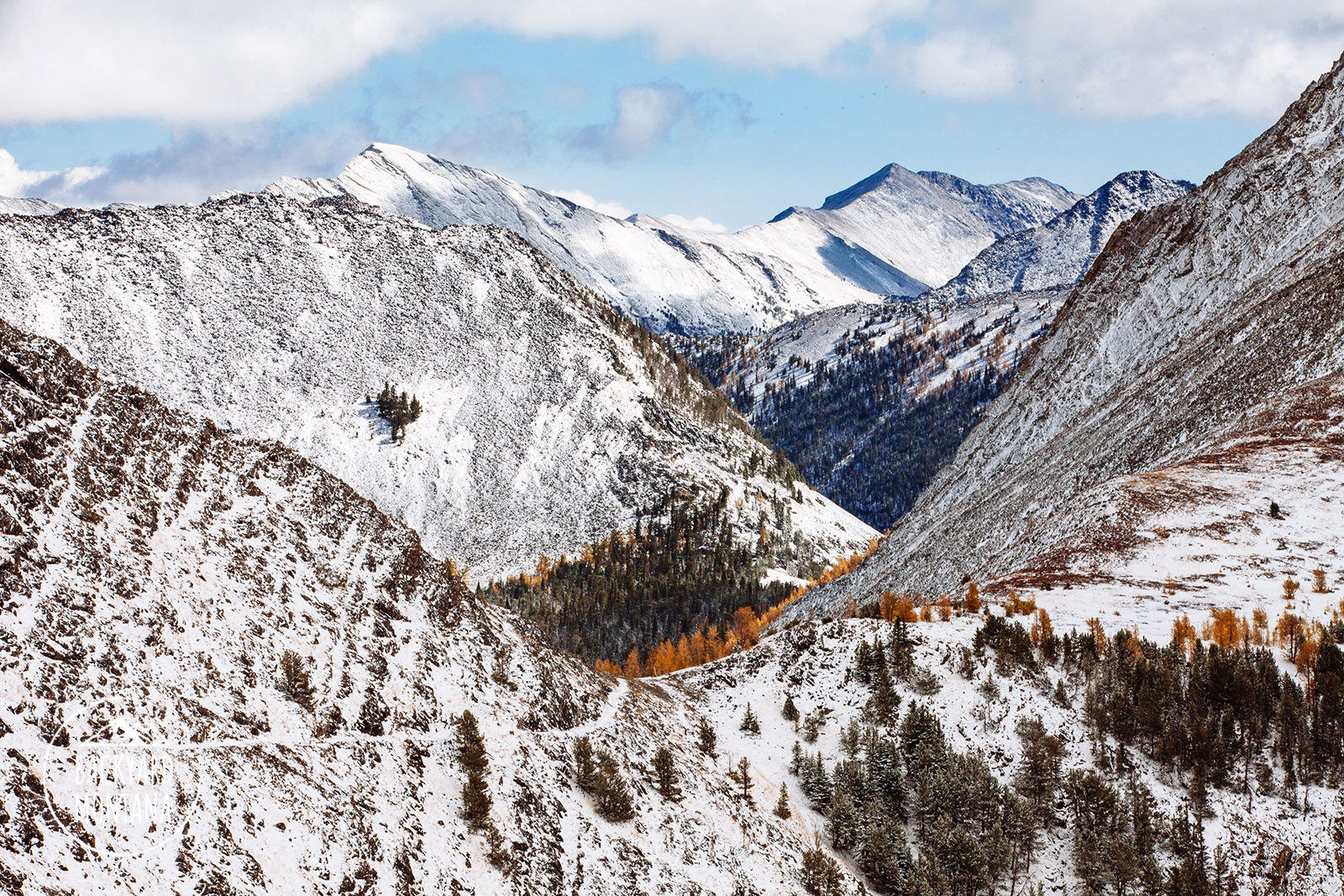
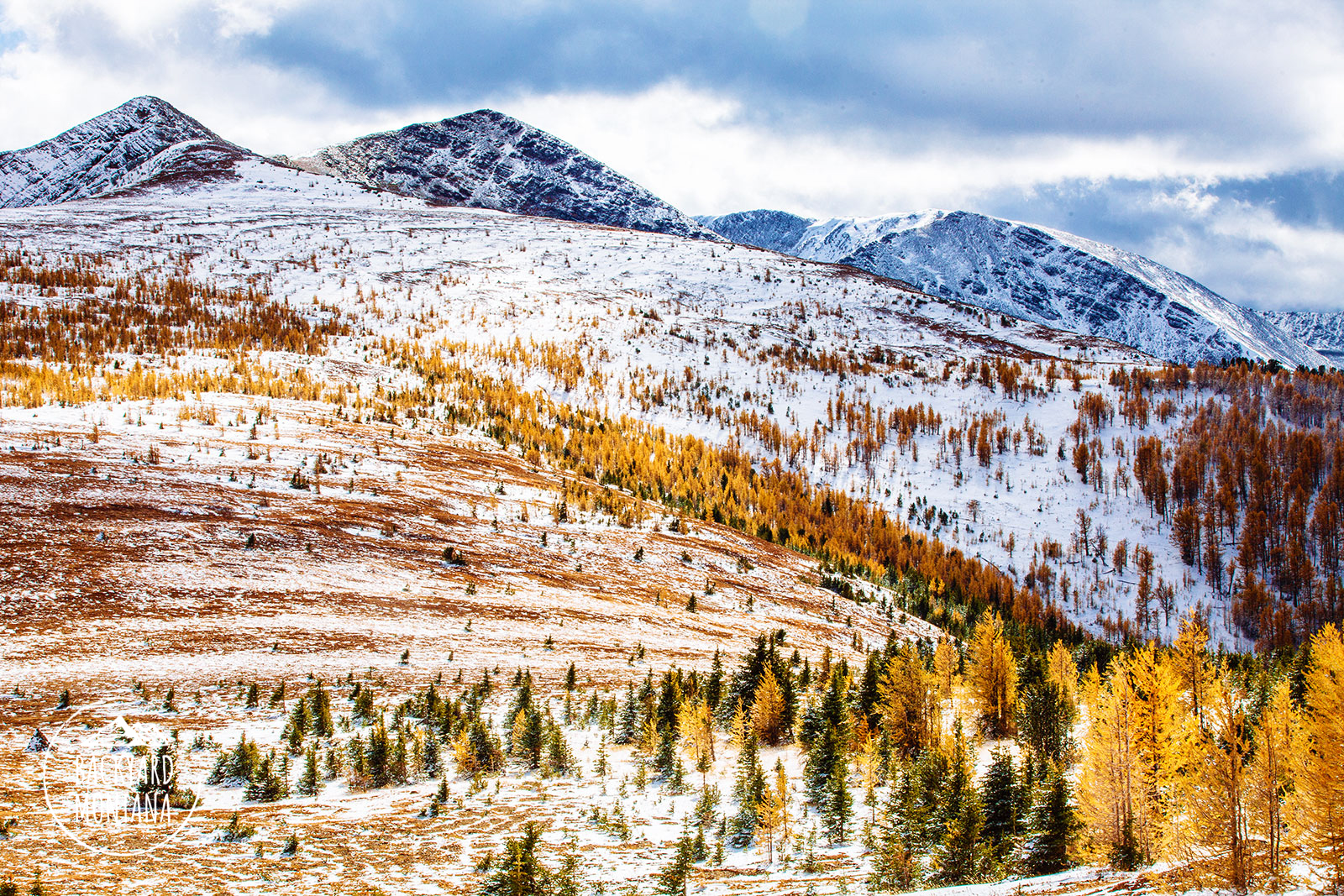
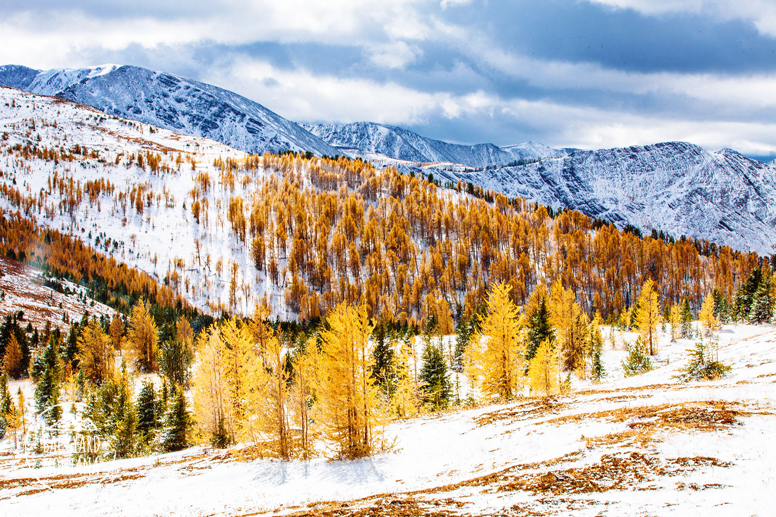
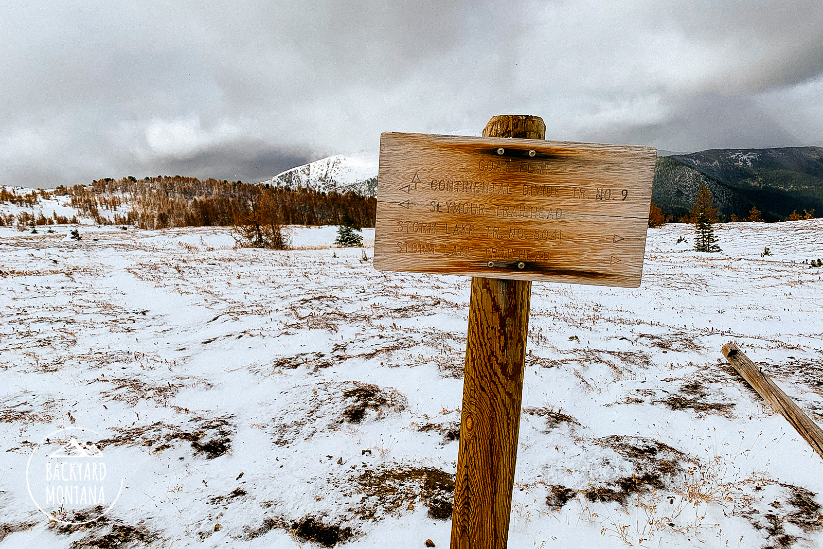
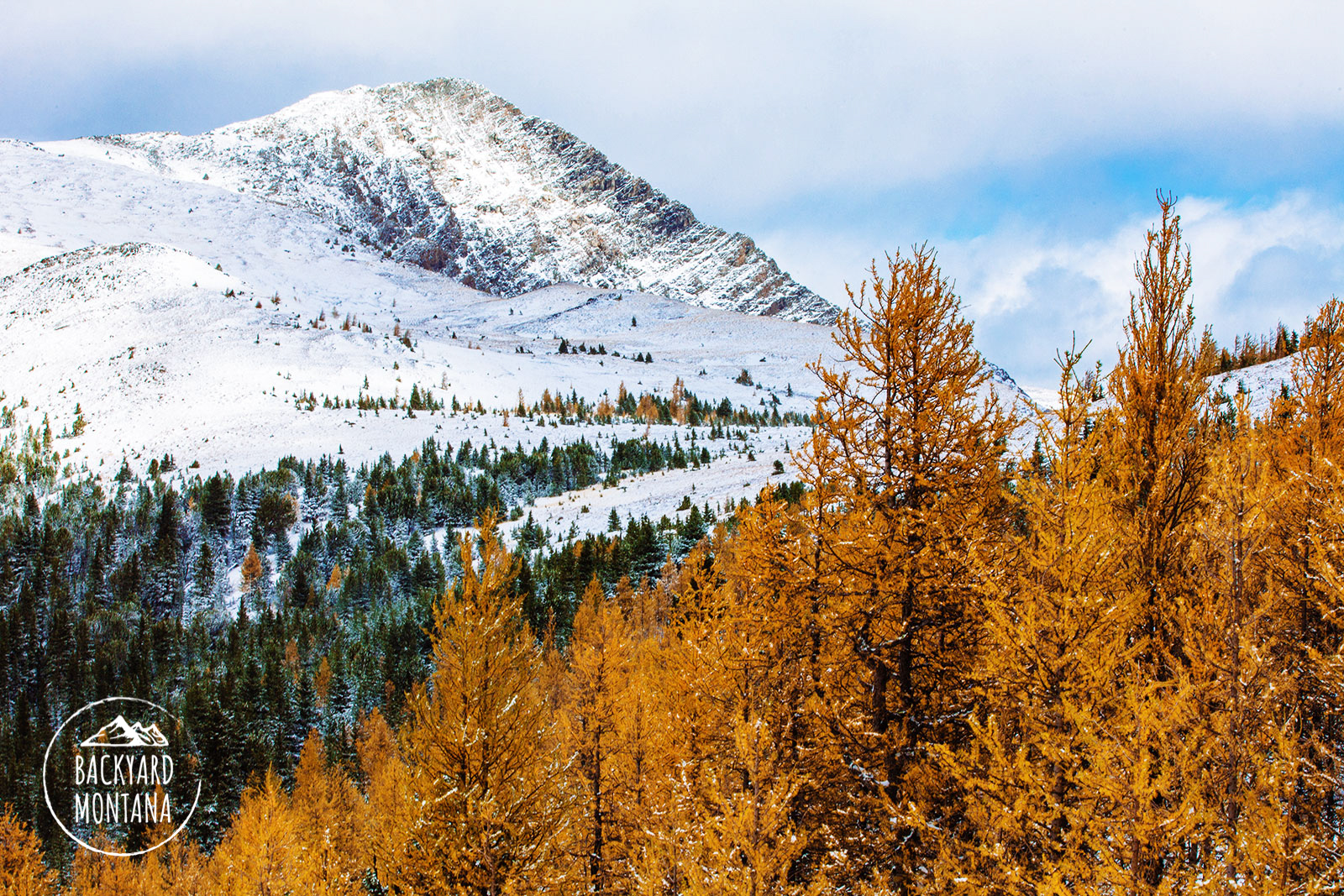
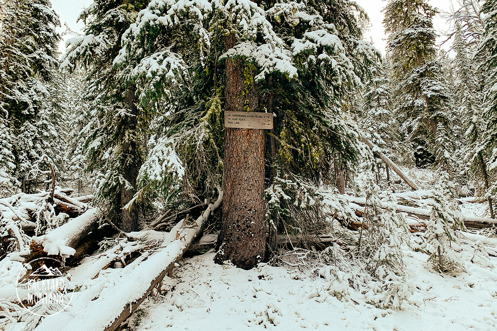
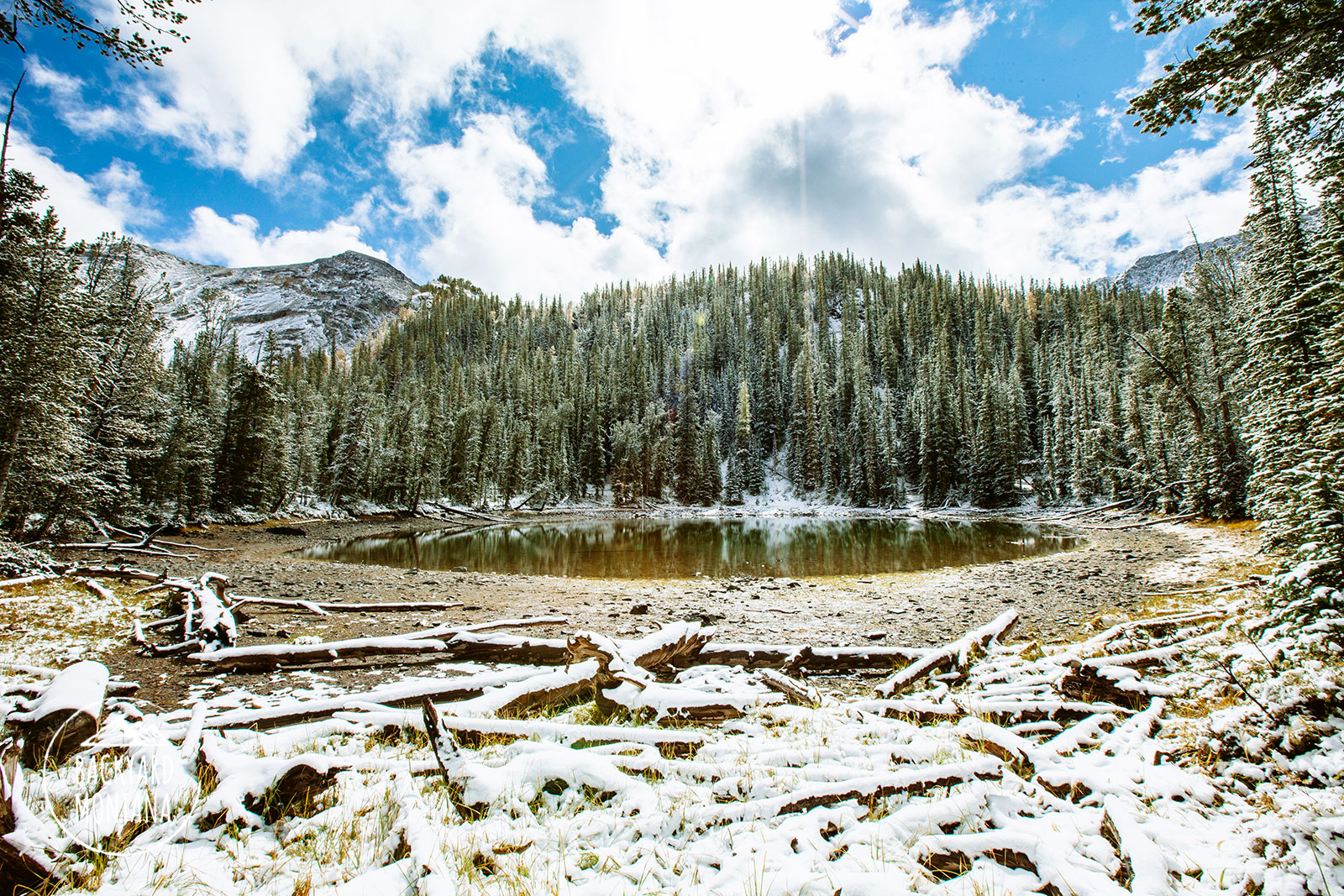
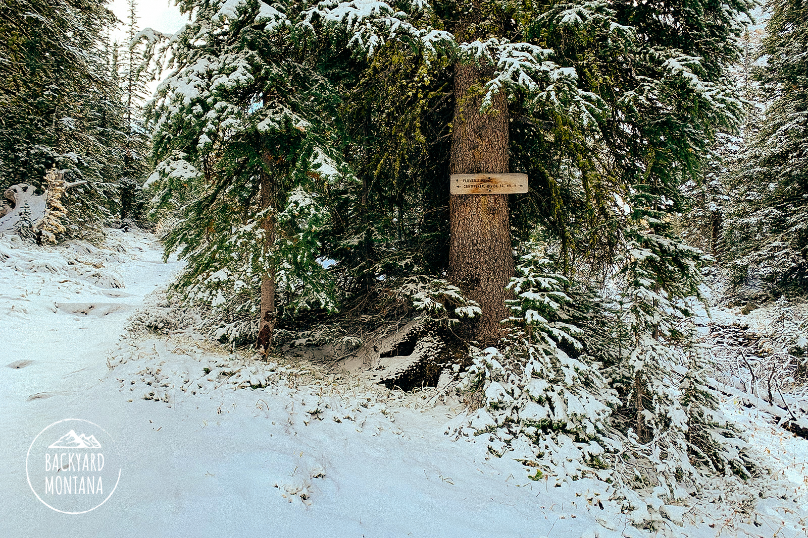
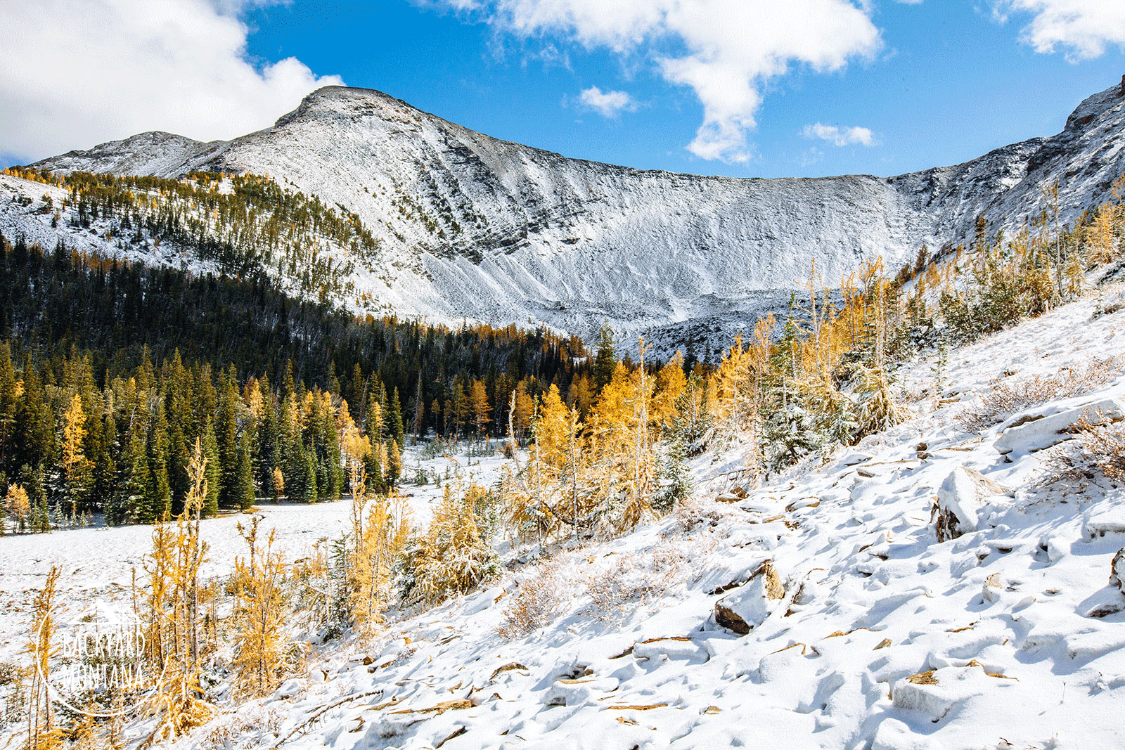
Beginning from the coordinates, you can either hike the rest of the rough road to Storm Lake (easiest way) or take the double-track road that heads southwest (good for slightly more solitude, but you may want a GPS to ensure you’re on the right double track). The hike to Storm Lake is only about a mile in length. Once at the lake, you can take either direction to the opposite end. We typically take the western side as it is more direct. Storm Lake is a fantastic lake for its easy access. Enjoy the lake views and hike towards the opposite end. Once at the opposite end, there is a trail that splits off and continues south. Take this trail up a small hill which leads you to cross a small creek. Continue on the trail through dense forest. There are several switchbacks up to a bowl that sits below Mt Tiny and the picturesque mountain backdrop to Storm Lake (we were told this is Little Rainbow, but maps have it unnamed). You’ll head towards Mt Tiny and follow the switchbacks up which travel through a larch forest. Eventually, you will reach Storm Lake Pass. From here you hike along a narrow trail beside Mt Tiny. Follow this mountainside trail to Goat Flats. Once at the opposite end, there is a prominent sign for Goat Flats. From here, look for the cairns and follow them down Goat Flats. You will reach a trail intersection post. Follow the direction towards the Continental Divide Trail which heads west. The trail passes through another section of larch which is a treat to hike in during autumn. You’ll round the ridge and immediately descend down some steep switchbacks. Once you’ve made your way down the switchbacks the trail evens out for about a quarter-mile before reaching another intersection. Continue straight from here heading towards the Continental Divide Trail / Page Lake. It’s about a half-mile until you reach Page Lake. Page Lake is really not much of a lake and is very shallow. Continue along the trail which leads north of Page Lake. The trail ascends a little more for less than a half-mile to reach Flower Lake. Flower Lake is also very shallow, but has more views and gives you a great view of Kurt Peak.
*Note: The trail from Storm Lake really holds onto snow until mid-summer. The mountainside trail beside Mt Tiny can be dangerous with snow since it is quite narrow. We recommend trying this hike between July-September months.