Trail Description

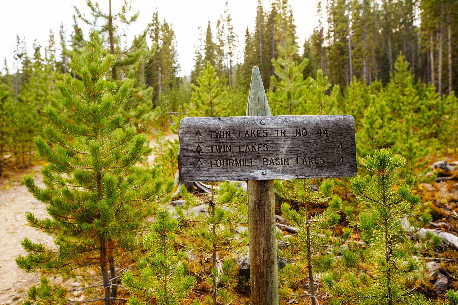
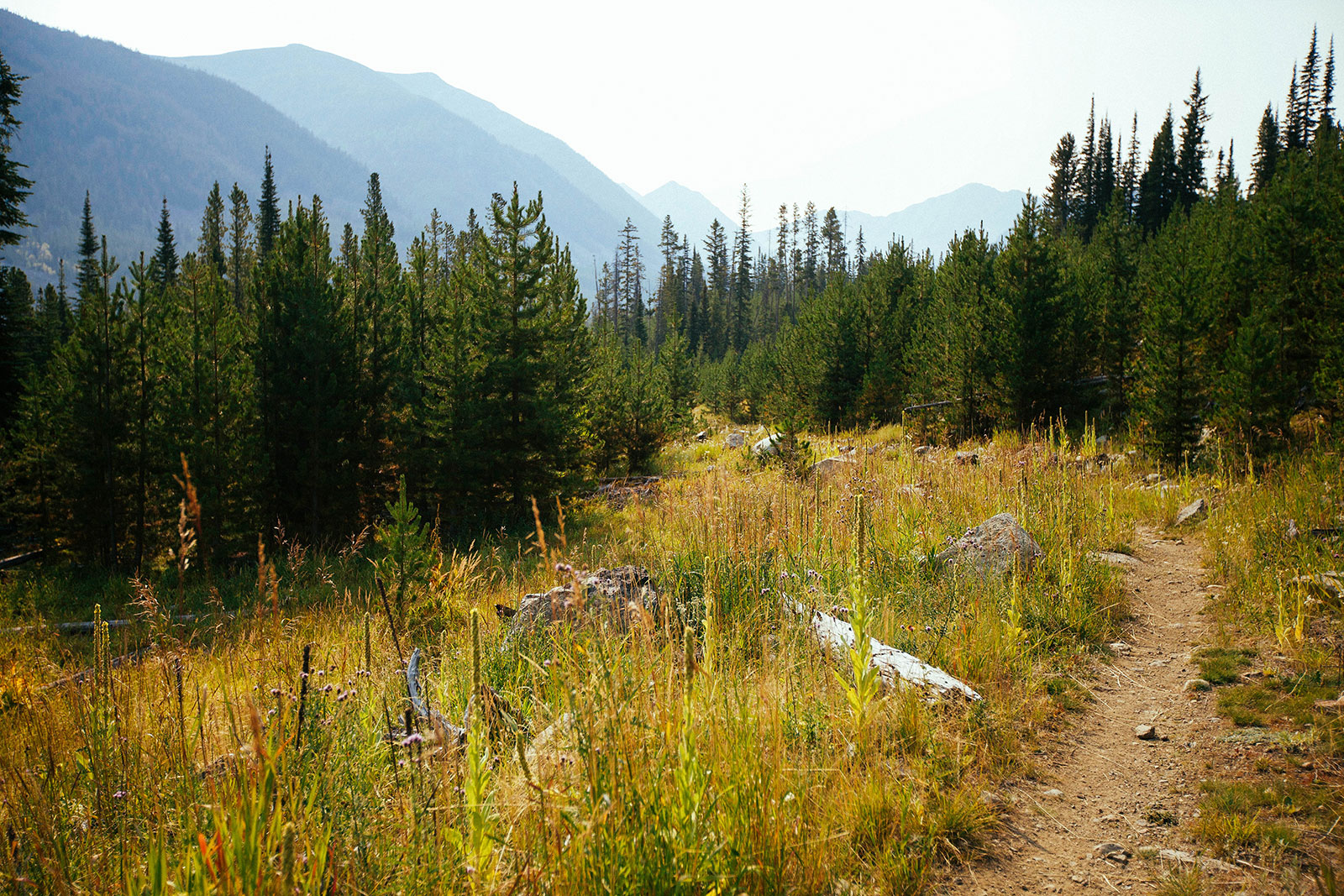
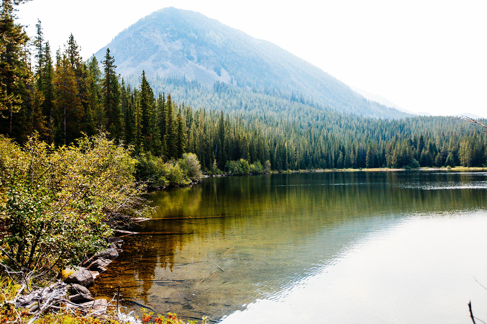
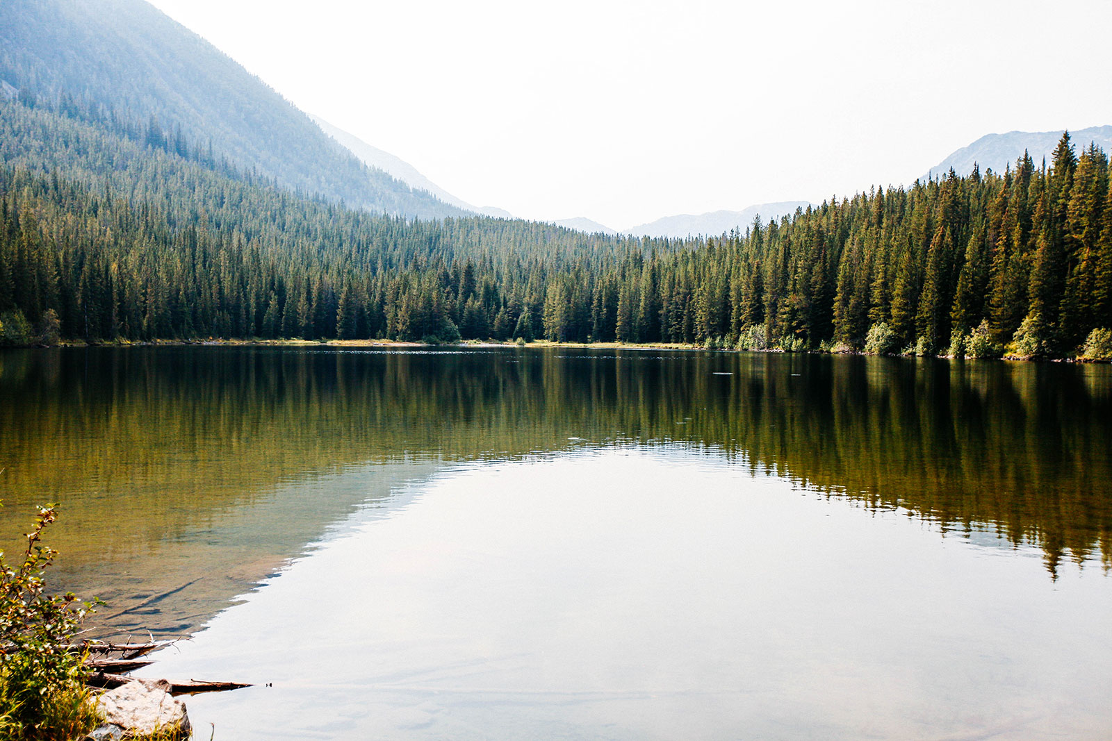
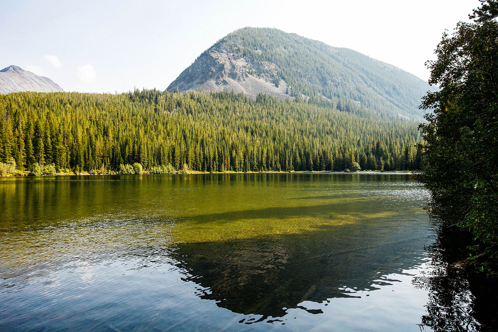
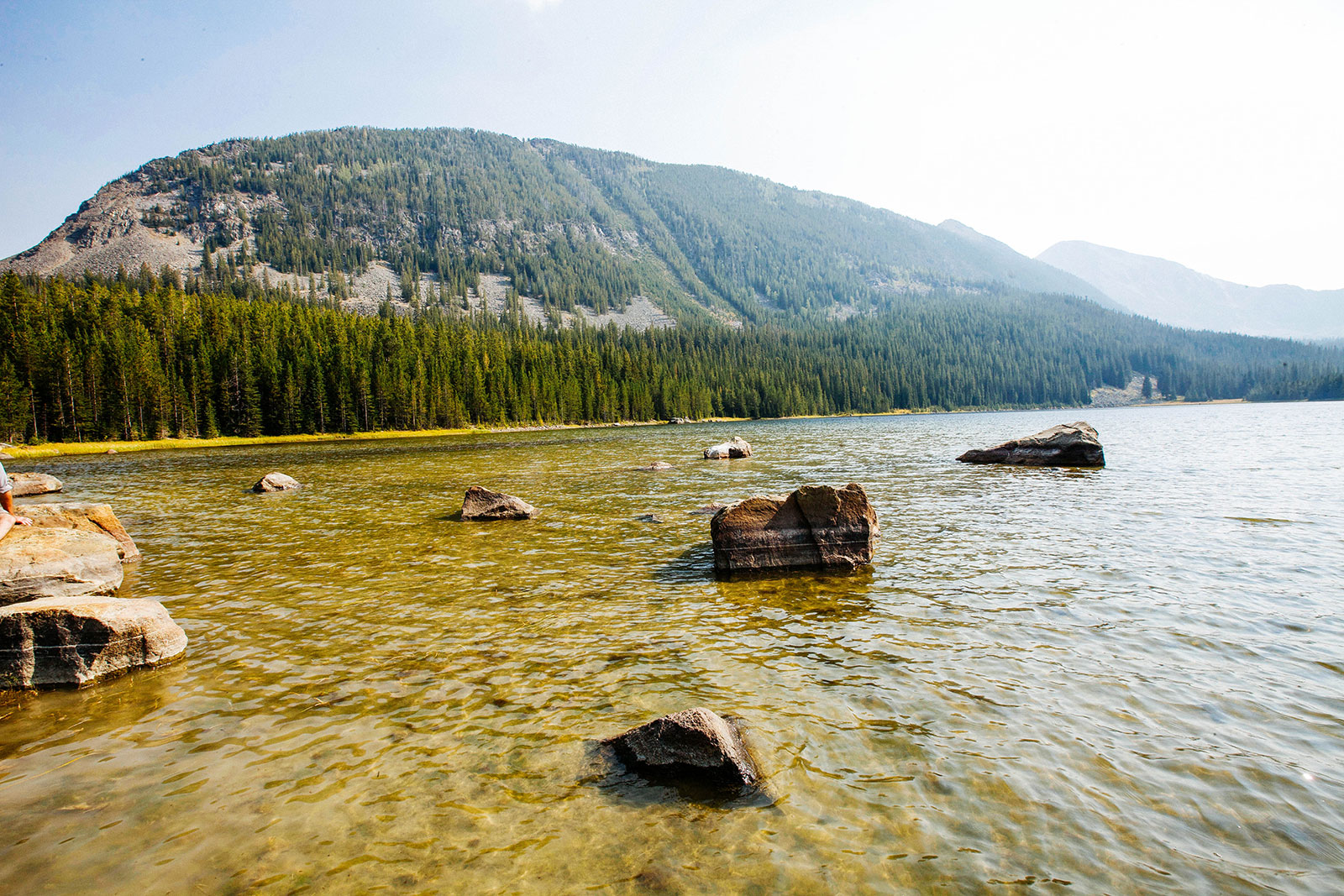
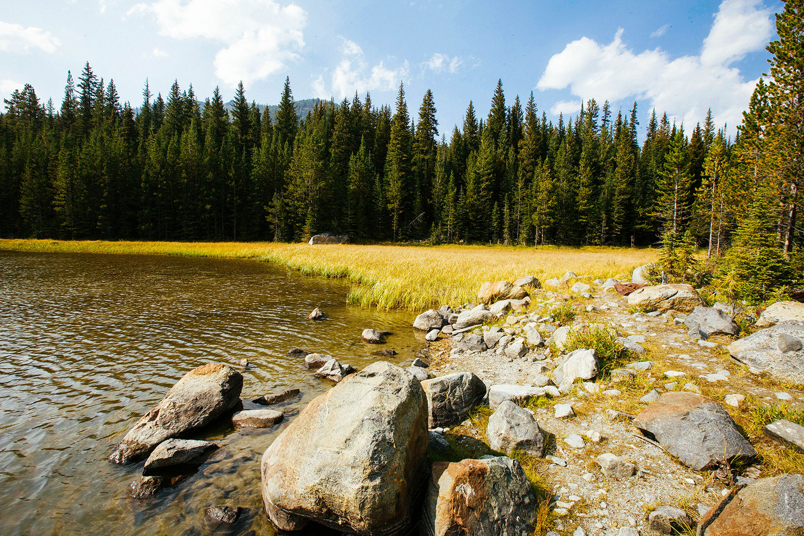
Twin Lakes, located in the Anaconda Mountains, ascends up an old road. It appears to have been obstructed in various ways to prevent motor vehicles from passing through. For the first few miles, the hike travels through some rather dry and open forests. Mountains can be seen in the distance making it an exciting site. You’ll reach an intersection with a sign that will point you to either Twin Lakes or Four Mile Basin Lake. You make a left towards Twin Lakes over a bridge and into some denser forests. After another mile or so the trail takes a surprising dip into a very lush and dense forest over a creek. Shortly after this, you arrive at the first Twin Lake. The second Twin Lake is a short distance to the right of the first. Very quiet, relaxing, and peaceful area. Sadly, there is a lot of smoke when we visited.
If you’re looking to add on some more miles or see another alpine lake, you can continue onto Lake of the Isle.